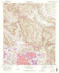
1968 Map of Valley Center
USGS Topo · Published 1988About this map
Escondido anchors the southern portion of this landscape, its residential and civic growth expanding into the historic land grant known as Rincon Del Diablo. The map documents a period of transition where citrus groves and rural ranching, represented by the Old Castle Ranch, meet suburban development. In town, local landmarks such as Palomar Memorial Hospital and the Escondido High Sch serve the growing population, while a Drive-in Theater reflects the mid-century recreation culture.
Find a feature on this map
49 named features on this map. Tap any name to fly to it.
Don’t see what you’re looking for? This feature index may not catch every label — zoom into the map to look around manually.
Map Details
Editions of this 1968 Valley Center Map
4 editions found
Other maps of this area

1893 · Escondido
USGS Topo · 1:62,500

1901 · Escondido
USGS Topo · 1:62,500

1901 · San Luis Rey
USGS Topo · 1:125,000

1903 · Ramona
USGS Topo · 1:125,000

1904 · Southern California Sheet No. 2
USGS Topo · 1:250,000

1939 · Palomar Mountain
USGS Topo · 1:62,500

1942 · Temecula
USGS Topo · 1:62,500

1942 · Escondido
USGS Topo · 1:62,500

1942 · Ramona
USGS Topo · 1:62,500

1947 · Ramona
USGS Topo · 1:62,500