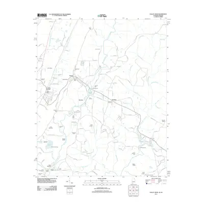
2011 Map of Valley Head
USGS Topo · Published 2011About this map
Mentone and Valley Head anchor this 2011 survey, showing a landscape defined by its high-altitude recreation and the winding course of the West Fork Little River. The geography reveals a concentration of seasonal camps and retreats, including Camp De Soto, Camp Skyline Ranch, and the Cloudmont Resort, reflecting the area's long-standing role as a mountain getaway. Natural landmarks such as Sunset Rock and De Soto Falls are central to the terrain, which is broken by gaps like Crow Gap and Tutwiler Gap. For the genealogist, several burial sites are documented, including Valley Head Cemetery, Jones Cemetery, and Howards Chapel Cemetery. Water management is evident through various structures like the A A Miller Dam and Lahusage Dam, which help form local water bodies such as Moon Lake and Lake Lahusage.
Find a feature on this map
91 named features on this map. Tap any name to fly to it.
Don’t see what you’re looking for? This feature index may not catch every label — zoom into the map to look around manually.
Map Details
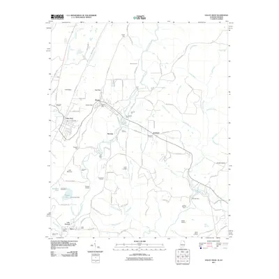
Editions of this 2011 Valley Head Map
2 editions found
Other maps of this area

1886 · Ringgold
USGS Topo · 1:125,000

1886 · Rome
USGS Topo · 1:125,000

1886 · Stevenson
USGS Topo · 1:125,000

1892 · Ringgold
USGS Topo · 1:125,000

1892 · Stevenson
USGS Topo · 1:125,000

1893 · Fort Payne
USGS Topo · 1:125,000

1895 · Stevenson
USGS Topo · 1:125,000

1898 · Rome
USGS Topo · 1:125,000

1898 · Fort Payne
USGS Topo · 1:125,000

1899 · Rome
USGS Topo · 1:125,000