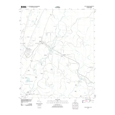
2011 Map of Valley Head
USGS Topo · Published 2011About this map
Valley Head and Mentone serve as the primary hubs in this corner of DeKalb County, where the plateau landscape is defined by the branching waters of the West Fork Little River. The area is notably concentrated with recreational and youth camps, including Camp De Soto, Camp Skyline Ranch, and Camp Alpine, reflecting a long-standing tradition of summer residency and outdoor tourism on Lookout Mountain. Distinctive landmarks such as Sunset Rock and the impressive De Soto Falls emphasize the dramatic terrain changes typical of the ridge-and-valley region.
Find a feature on this map
119 named features on this map. Tap any name to fly to it.
Don’t see what you’re looking for? This feature index may not catch every label — zoom into the map to look around manually.
Map Details
Editions of this 2011 Valley Head Map
2 editions found
Other maps of this area

1886 · Ringgold
USGS Topo · 1:125,000

1886 · Rome
USGS Topo · 1:125,000

1886 · Stevenson
USGS Topo · 1:125,000

1892 · Ringgold
USGS Topo · 1:125,000

1892 · Stevenson
USGS Topo · 1:125,000

1893 · Fort Payne
USGS Topo · 1:125,000

1895 · Stevenson
USGS Topo · 1:125,000

1898 · Rome
USGS Topo · 1:125,000

1898 · Fort Payne
USGS Topo · 1:125,000

1899 · Rome
USGS Topo · 1:125,000