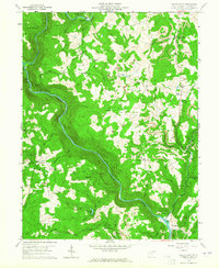
1959 Map of Valley Point
USGS Topo · Published 1965About this map
The Cheat River carves a deep, winding canyon through this portion of Preston County, defining the boundary between Grant and Valley districts. This 1959 field-checked landscape is characterized by a high concentration of resource extraction, with numerous mines and Strip Mines peppered across the ridges, particularly around the settlements of Valley Point and Martin. A notable historical landmark, the Old Virginia Furnace, sits along Muddy Creek near the southern edge of the sheet, signaling the area's earlier industrial heritage.
Find a feature on this map
61 named features on this map. Tap any name to fly to it.
Don’t see what you’re looking for? This feature index may not catch every label — zoom into the map to look around manually.
Map Details
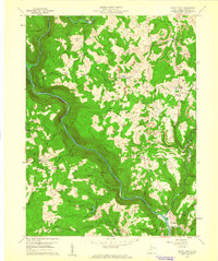
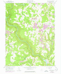
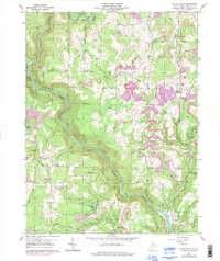
Editions of this 1959 Valley Point Map
4 editions found
Other maps of this area

1886 · St. George
USGS Topo · 1:125,000

1891 · St. George
USGS Topo · 1:125,000

1902 · Morgantown
USGS Topo · 1:62,500

1904 · Bruceton
USGS Topo · 1:62,500

1907 · Thornton
USGS Topo · 1:62,500

1907 · Kingwood
USGS Topo · 1:62,500

1925 · Kingwood
USGS Topo · 1:62,500

1925 · Morgantown
USGS Topo · 1:62,500

1926 · Thornton
USGS Topo · 1:62,500

1926 · Bruceton
USGS Topo · 1:62,500