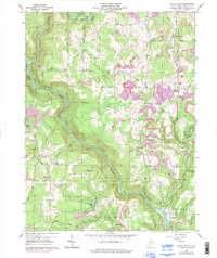
1959 Map of Valley Point
USGS Topo · Published 1998About this map
The Cheat River carves a deep path through the Preston County landscape, defining the industrial and topographical character of this region. By the late 1950s, the area shows a clear transition from early industrial heritage to modern resource extraction, evidenced by the presence of the Old Virginia Furnace near Muddy Creek. Extensive Strip Mine operations are visible across the northern and eastern portions of the map, particularly around Valley Point and Sugar Valley.
Find a feature on this map
51 named features on this map. Tap any name to fly to it.
Don’t see what you’re looking for? This feature index may not catch every label — zoom into the map to look around manually.
Map Details
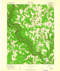
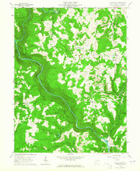
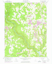
Editions of this 1959 Valley Point Map
4 editions found
Other maps of this area

1886 · St. George
USGS Topo · 1:125,000

1891 · St. George
USGS Topo · 1:125,000

1902 · Morgantown
USGS Topo · 1:62,500

1904 · Bruceton
USGS Topo · 1:62,500

1907 · Thornton
USGS Topo · 1:62,500

1907 · Kingwood
USGS Topo · 1:62,500

1925 · Kingwood
USGS Topo · 1:62,500

1925 · Morgantown
USGS Topo · 1:62,500

1926 · Thornton
USGS Topo · 1:62,500

1926 · Bruceton
USGS Topo · 1:62,500