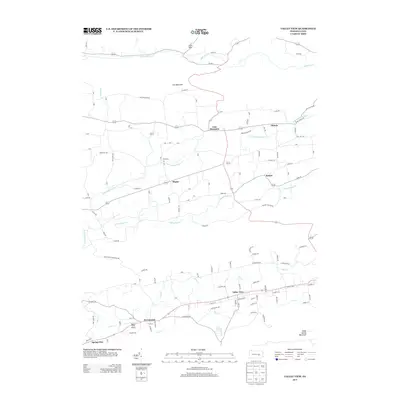
2013 Map of Valley View
USGS Topo · Published 2013About this map
Valley View sits at the heart of this central Pennsylvania landscape, where a series of prominent ridges define the local geography. Running parallel across the quadrangle, Line Mountain to the north and Good Spring Mountain to the south create a contained valley system carved by numerous waterways, including Mahantango Cr and its various tributaries. The settlement pattern follows these topographical lines, with small communities like Sacramento and Spring Glen anchored along the primary road networks. A notable local landmark, Masser Field Airport, is situated near the valley floor between the mountains. The map reveals a dense network of local roads such as Old Mill Rd and Saw Mill Rd, which suggest a history of resource extraction and local industry tied to the land and its moving waters.
Find a feature on this map
60 named features on this map. Tap any name to fly to it.
Don’t see what you’re looking for? This feature index may not catch every label — zoom into the map to look around manually.
Map Details
Editions of this 2013 Valley View Map
This is the sole edition of this map. No revisions or reprints were ever made.
Other maps of this area

1889 · Catawissa
USGS Topo · 1:62,500

1892 · Catawissa
USGS Topo · 1:62,500

1892 · Lykens
USGS Topo · 1:62,500

1892 · Shamokin
USGS Topo · 1:62,500

1892 · Pine Grove
USGS Topo · 1:62,500

1893 · Lykens
USGS Topo · 1:62,500

1893 · Shamokin
USGS Topo · 1:62,500

1894 · Catawissa
USGS Topo · 1:62,500

1943 · Lykens
USGS Topo · 1:62,500

1943 · Shamokin
USGS Topo · 1:62,500
Featured Places
- Hegins Township, PA
- West Cameron Township, PA
- Hubley Township, PA
- East Cameron Township, PA
- Sacramento, Hubley Township