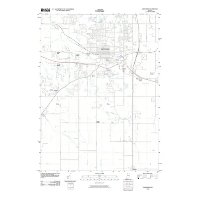
2010 Map of Valparaiso
USGS Topo · Published 2010About this map
Valparaiso serves as the focal point of this Porter County landscape, showing a dense residential and academic layout centered on Valparaiso University. The city is surrounded by a ring of established neighborhoods and developments including Marian Manor, Crestview, and Williamsburg Manor, illustrating the modern suburban expansion of the area. A high concentration of local history is preserved in numerous burial grounds scattered throughout the quadrangle, from the centrally located Union Street Cemetery to rural sites like Fleming Cemetery and Adam Cemetery further south.
Find a feature on this map
44 named features on this map. Tap any name to fly to it.
Don’t see what you’re looking for? This feature index may not catch every label — zoom into the map to look around manually.
Map Details
Editions of this 2010 Valparaiso Map
This is the sole edition of this map. No revisions or reprints were ever made.
Other maps of this area

1934 · Porter
USGS Topo · 1:48,000

1940 · Porter
USGS Topo · 1:62,500

1953 · Palmer
USGS Topo · 1:24,000

1953 · Wanatah
USGS Topo · 1:24,000

1953 · Hebron
USGS Topo · 1:24,000

1953 · Garyton
USGS Topo · 1:24,000

1953 · Westville
USGS Topo · 1:24,000

1953 · Valparaiso
USGS Topo · 1:24,000

1953 · Chesterton
USGS Topo · 1:24,000

1953 · Kouts
USGS Topo · 1:24,000