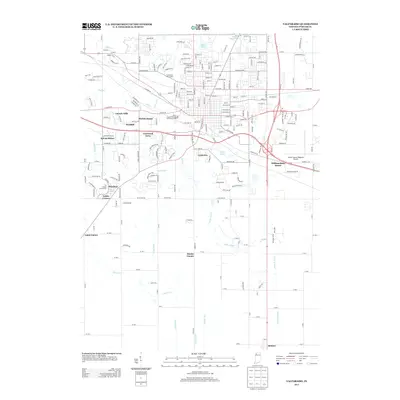
2013 Map of Valparaiso
USGS Topo · Published 2013About this map
Silver Lake and Bulls Eye Lake anchor the northern landscape of this Porter County region, where residential expansion meets an intricate system of managed waterways. The suburban character of the era is evident in the proliferation of named subdivisions such as Marian Manor, Coolwood Acres, and Williamsburg Manor, which fill the spaces between traditional rural crossroads like Cobbs Corner and Gates Corner.
Find a feature on this map
238 named features on this map. Tap any name to fly to it.
Don’t see what you’re looking for? This feature index may not catch every label — zoom into the map to look around manually.
Map Details
Editions of this 2013 Valparaiso Map
This is the sole edition of this map. No revisions or reprints were ever made.
Other maps of this area

1934 · Porter
USGS Topo · 1:48,000

1940 · Porter
USGS Topo · 1:62,500

1953 · Palmer
USGS Topo · 1:24,000

1953 · Wanatah
USGS Topo · 1:24,000

1953 · Hebron
USGS Topo · 1:24,000

1953 · Garyton
USGS Topo · 1:24,000

1953 · Westville
USGS Topo · 1:24,000

1953 · Valparaiso
USGS Topo · 1:24,000

1953 · Chesterton
USGS Topo · 1:24,000

1953 · Kouts
USGS Topo · 1:24,000