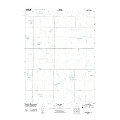
2011 Map of Valparaiso SW
USGS Topo · Published 2011About this map
Oak Creek and its tributaries, including Middle Oak Creek and Wagon Tongue Creek, define the water management landscape of this Nebraska countryside. The region is characterized by an extensive network of detention dams and reservoirs designed for flood control and irrigation, such as the Butler County Reservoir 67-A and the Peanut Creek Reservoir 57-A. These features, often named for local families or geography like the Schmidt Reservoir and Koziesek Reservoir, reflect the importance of water conservation in the Great Plains agricultural economy.
Find a feature on this map
63 named features on this map. Tap any name to fly to it.
Don’t see what you’re looking for? This feature index may not catch every label — zoom into the map to look around manually.
Map Details
Editions of this 2011 Valparaiso SW Map
This is the sole edition of this map. No revisions or reprints were ever made.
Other maps of this area

1897 · Lincoln
USGS Topo · 1:125,000

1899 · Wahoo
USGS Topo · 1:125,000

1899 · David City
USGS Topo · 1:125,000

1934 · Seward
USGS Topo · 1:48,000

1939 · Seward
USGS Topo · 1:62,500

1955 · Fremont
USGS Topo · 1:250,000

1955 · Lincoln
USGS Topo · 1:250,000

1957 · Fremont
USGS Topo · 1:250,000

1957 · Lincoln
USGS Topo · 1:250,000

1958 · Fremont
USGS Topo · 1:250,000