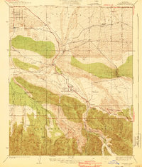
1940 Map of Valyermo
USGS Topo · Published 1940About this map
The San Andreas Rift defines the dramatic meeting point between the high desert and the steep northern slopes of the San Gabriel Mountains in this 1940 edition. While the Antelope Valley to the north shows a grid of agricultural development and early roads like Avenue W, the canyon floors are dominated by sprawling family holdings such as the Aldrich Ranch, Pallett Ranch, and Valyermo Ranch. This era of land management is well-documented through the presence of the Valyermo Ranger Sta and a CCC Camp, highlighting federal infrastructure within the Angeles National Forest during the late Depression years.
Find a feature on this map
42 named features on this map. Tap any name to fly to it.
Don’t see what you’re looking for? This feature index may not catch every label — zoom into the map to look around manually.
Map Details
Editions of this 1940 Valyermo Map
4 editions found
Other maps of this area

1901 · Southern California Sheet No. 1
USGS Topo · 1:250,000

1903 · Rock Creek
USGS Topo · 1:62,500

1904 · Southern California Sheet No. 1
USGS Topo · 1:250,000

1930 · Black Butte
USGS Topo · 1:24,000

1930 · Little Rock
USGS Topo · 1:24,000

1930 · Llano
USGS Topo · 1:24,000

1933 · Black Butte
USGS Topo · 1:24,000
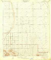
1934 · Little Rock
USGS Topo · 1:24,000

1934 · Mescal Creek
USGS Topo · 1:24,000
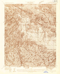
1934 · Cima Mesa
USGS Topo · 1:24,000