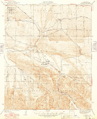
1940 Map of Valyermo
USGS Topo · Published 1949About this map
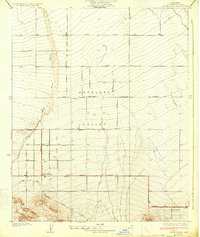
Antelope Valley meets the rising slopes of the San Gabriel Mountains in this 1940s survey of the northern Los Angeles County fringe. The landscape is dominated by the dramatic geological scar of the San Andreas Rift Zone, which cuts a distinct path through Valyermo and past the Valyermo Ranger Sta. This era represents a period of remote ranching and early forest management, evidenced by several family-named properties like Big Rock Ranch, Hidden Springs Ranch, and the Anderson Ranch. The southern portion of the sheet captures the complex terrain of the Devils Punchbowl within the Angeles National Forest, where steep canyons like Limekiln Canyon and ridges such as Pinyon Ridge define the topography. Settlement is sparse, clustered primarily along the Pear Blossom Highway and around the settlement of Longview.
Find a feature on this map
46 named features on this map. Tap any name to fly to it.
Don’t see what you’re looking for? This feature index may not catch every label — zoom into the map to look around manually.
Map Details
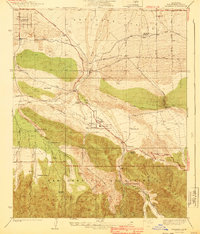
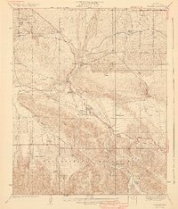
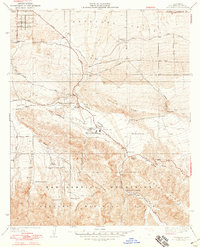
Editions of this 1940 Valyermo Map
4 editions found
Other maps of this area

1901 · Southern California Sheet No. 1
USGS Topo · 1:250,000

1903 · Rock Creek
USGS Topo · 1:62,500

1904 · Southern California Sheet No. 1
USGS Topo · 1:250,000

1930 · Black Butte
USGS Topo · 1:24,000

1930 · Little Rock
USGS Topo · 1:24,000

1930 · Llano
USGS Topo · 1:24,000

1933 · Black Butte
USGS Topo · 1:24,000
1934 · Little Rock
USGS Topo · 1:24,000

1934 · Mescal Creek
USGS Topo · 1:24,000
1934 · Cima Mesa
USGS Topo · 1:24,000