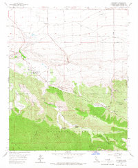
1958 Map of Valyermo
USGS Topo · Published 1966About this map
The San Andreas Rift Zone forms a striking geologic corridor across this landscape, where the High Desert meets the northern slopes of the San Gabriel Mountains. This 1958 survey captures the transition from irrigated agriculture at the Valyermo Ranch and Big Rock Ranch to the dense network of canyons within the Angeles National Forest. Notable for its dramatic topography, the area includes the sandstone formations of the Devils Punchbowl and the deep cuts of Punchbowl Canyon. Near the settlement of Valyermo, the presence of St Andrews Priory and the Crystalaire Country Club reflects the early growth of recreational and religious retreats. Farther north, the flat desert floor is marked by the Llano Racetrack and the Pearblossom Highway, while mountain resources are indicated by the Limekiln (Ruins) and various campgrounds such as South Fork Campground.
Find a feature on this map
55 named features on this map. Tap any name to fly to it.
Don’t see what you’re looking for? This feature index may not catch every label — zoom into the map to look around manually.
Map Details
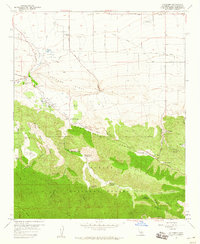
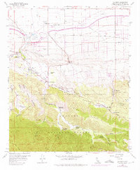
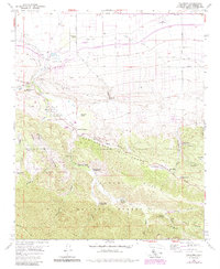
Editions of this 1958 Valyermo Map
4 editions found
Other maps of this area

1901 · Southern California Sheet No. 1
USGS Topo · 1:250,000

1903 · Rock Creek
USGS Topo · 1:62,500

1903 · San Antonio
USGS Topo · 1:62,500

1904 · Southern California Sheet No. 1
USGS Topo · 1:250,000

1930 · Black Butte
USGS Topo · 1:24,000

1930 · Llano
USGS Topo · 1:24,000

1933 · Black Butte
USGS Topo · 1:24,000

1934 · Mescal Creek
USGS Topo · 1:24,000
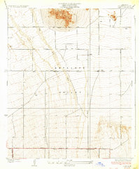
1934 · Llano
USGS Topo · 1:24,000
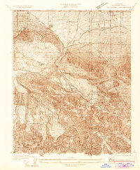
1934 · Valyermo
USGS Topo · 1:24,000