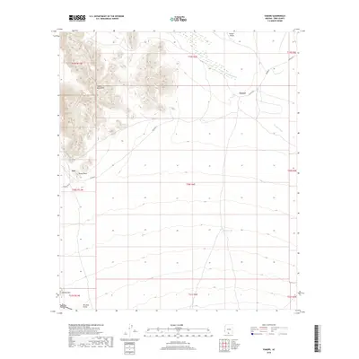
2018 Map of Vamori
USGS Topo · Published 2018About this map
Alvarez Mountains dominate the northwestern landscape of this Pima County region, rising sharply above the expansive Vamori Valley. This 2018 survey illustrates the sparse, desert settlement patterns of the Tohono O'odham Nation, centered around the community of Vamori and the smaller locality of Itak. Transportation in this arid environment relies on routes like Indian Rte 2 and Ind Ser Rt 2, which navigate the wide basins between the peaks.
Find a feature on this map
21 named features on this map. Tap any name to fly to it.
Don’t see what you’re looking for? This feature index may not catch every label — zoom into the map to look around manually.
Map Details
Editions of this 2018 Vamori Map
This is the sole edition of this map. No revisions or reprints were ever made.
Other maps of this area

1941 · Vamori
USGS Topo · 1:62,500

1941 · Sells
USGS Topo · 1:62,500

1943 · Sells
USGS Topo · 1:62,500

1943 · Fresnal
USGS Topo · 1:125,000

1943 · Vamori
USGS Topo · 1:62,500

1954 · Sonoyta
USGS Topo · 1:250,000

1956 · Nogales
USGS Topo · 1:250,000

1958 · Nogales
USGS Topo · 1:250,000

1959 · Nogales
USGS Topo · 1:250,000

1963 · Gu Oidak
USGS Topo · 1:62,500