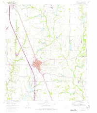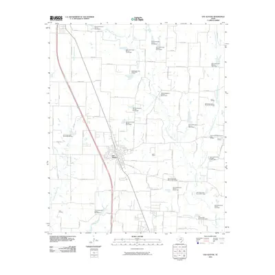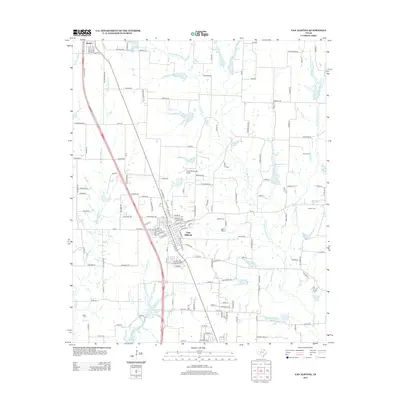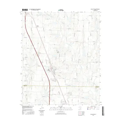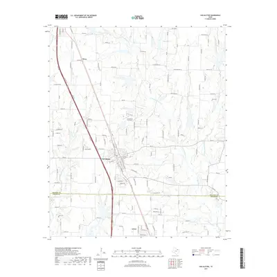
2022 Map of Van Alstyne
USGS Topo · Published 2022About this map
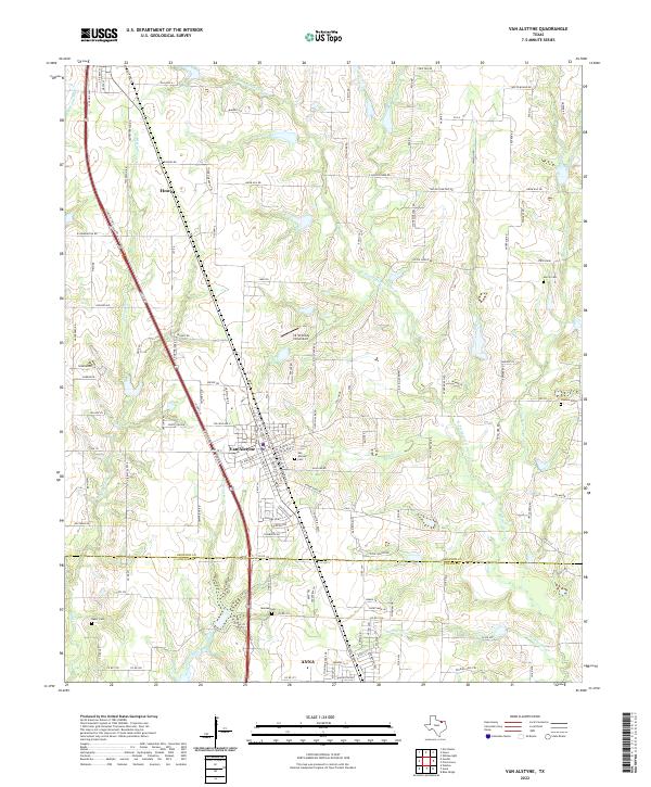
Van Alstyne and Howe anchor this North Texas corridor along the S Collins Fwy US Hwy 75. The landscape is defined by the headwaters of several prominent creek systems, including the Hurricane Creek and various prongs of Sister Grove Creek. Family and community history is etched across the terrain through numerous burial grounds such as Taylor Cemetary, Morris Cemetery, and the historic Mantua Cemetery near the southern boundary. To the north, Howe shows its grid near the E Prong Whites Creek, while the southern portion of the sheet reaches into the expanding footprint of Anna. Aviation history is noted by the presence of the J & W Windy Hill Airport, located just northwest of the central Van Alstyne settlement. This survey documents the intersection of rural heritage and modern transportation infrastructure as the region develops.
Find a feature on this map
146 named features on this map. Tap any name to fly to it.
Don’t see what you’re looking for? This feature index may not catch every label — zoom into the map to look around manually.
Map Details
Editions of this 2022 Van Alstyne Map
This is the sole edition of this map. No revisions or reprints were ever made.
Historical Maps of Anna Through Time
6 maps found