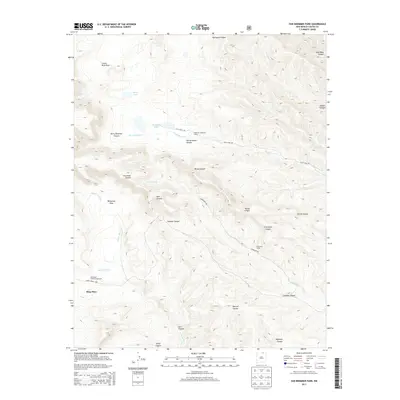
2013 Map of Van Bremmer Park
USGS Topo · Published 2013About this map
Ring Place and Cerrososo Camp serve as focal points in this high-altitude landscape of Colfax County, defined by a complex network of canyons and high parks. The terrain is deeply incised by drainages such as Van Bremmer Cr and Cerrososo Cr, which flow through named features like Van Bremmer Canyon and Broad Canyon. This area, once part of the expansive Vermejo Park Ranch, shows its ranching and resource heritage through sites like Bremmer Longshed Camp and landmarks named for local figures, including Harry Bremmer Canyon and Juan Baca Canyon. Seasonal water is found at Marys Lake and the Bremmer Lakes. The map also details access points for backcountry travel, including Valle Vidal Rd and McCrystal Creek Campground near McCrystal Cr.
Find a feature on this map
32 named features on this map. Tap any name to fly to it.
Don’t see what you’re looking for? This feature index may not catch every label — zoom into the map to look around manually.
Map Details
Editions of this 2013 Van Bremmer Park Map
This is the sole edition of this map. No revisions or reprints were ever made.
Other maps of this area

1954 · Raton
USGS Topo · 1:250,000

1955 · Cimarron
USGS Topo · 1:62,500

1955 · Ute Park
USGS Topo · 1:62,500

1958 · Raton
USGS Topo · 1:250,000

1962 · Ash Mountain
USGS Topo · 1:62,500

1962 · Casa Grande
USGS Topo · 1:62,500

1981 · Raton
USGS Topo · 1:100,000

1982 · Wheeler Peak
USGS Topo · 1:100,000
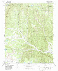
1986 · Vermejo Park
USGS Topo · 1:24,000
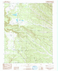
1986 · Van Bremmer Park
USGS Topo · 1:24,000