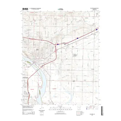
2014 Map of Van Buren
USGS Topo · Published 2014About this map
The Arkansas River serves as the primary geographical divider between Van Buren and Fort Smith, linked by the Broadway Bridge and Byrns Bridge. This 2014 survey documents the dense concentration of historical and civic sites along the river, including the University of Arkansas-Fort Smith and numerous burial grounds like Fairview Cem, Grace Lawn Cem, and Crow Hill Cem. The infrastructure reflects both a modern urban corridor and deep-seated rural roots.
Find a feature on this map
122 named features on this map. Tap any name to fly to it.
Don’t see what you’re looking for? This feature index may not catch every label — zoom into the map to look around manually.
Map Details
Editions of this 2014 Van Buren Map
This is the sole edition of this map. No revisions or reprints were ever made.
Other maps of this area

1879 · Fort Smith
USGS Topo · 1:62,500

1887 · Van Buren
USGS Topo · 1:62,500

1890 · Fort Smith
USGS Topo · 1:125,000

1898 · Winslow #4
USGS Topo · 1:62,500

1898 · Winslow #3
USGS Topo · 1:62,500

1898 · Winslow
USGS Topo · 1:125,000

1901 · Winslow
USGS Topo · 1:125,000

1906 · Lavaca
USGS Topo · 1:62,500

1943 · Fort Smith
USGS Topo · 1:125,000

1946 · Fort Smith
USGS Topo · 1:250,000