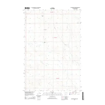
2014 Map of Van Burton Creek
USGS Topo · Published 2014About this map
S Sunday Cr and its many intermittent tributaries define the drainage patterns of this Rosebud County landscape. The topography is dominated by the seasonal flow of Van Burton Cr and Coal Cr, illustrating the complex watershed system of the Montana plains. A sparse network of ranching roads, including Dog Creek Rd, Road 203, and Road 205, provides the only terrestrial access through these township sections. The naming of Spring Coulee and Dog Cr points to a landscape where water and terrain dictate movement and land use. This survey captures the rural character of the region as it appeared in the early 21st century, dominated by open land and natural drainage features.
Find a feature on this map
12 named features on this map. Tap any name to fly to it.
Don’t see what you’re looking for? This feature index may not catch every label — zoom into the map to look around manually.
Map Details
Editions of this 2014 Van Burton Creek Map
This is the sole edition of this map. No revisions or reprints were ever made.
Other maps of this area

1954 · Forsyth
USGS Topo · 1:250,000

1957 · Forsyth
USGS Topo · 1:250,000

1958 · Forsyth
USGS Topo · 1:250,000

1965 · Needle Butte
USGS Topo · 1:24,000

1965 · Clear Water Reservoir
USGS Topo · 1:24,000
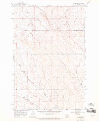
1965 · Red Buttes
USGS Topo · 1:24,000

1969 · Van Burton Creek
USGS Topo · 1:24,000

1969 · Wild Horse Pass SE
USGS Topo · 1:24,000

1969 · Wild Horse Pass
USGS Topo · 1:24,000
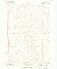
1969 · Alkali Creek
USGS Topo · 1:24,000