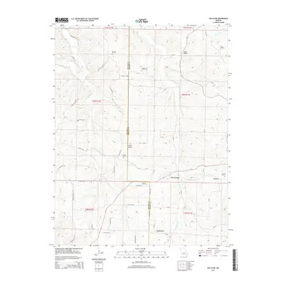
2015 Map of Van Cleve
USGS Topo · Published 2015About this map
Van Cleve and the surrounding Maries and Miller County borderlands are defined by a complex network of waterways feeding into Tavern Creek. This 2015 update of the landscape reveals a region where genealogy is preserved in numerous family-named burial grounds, including the Barnhart Cemetery, Pendleton Cemetery, and Jim-Matt Lawson Cemetery. The rugged terrain is etched with many drainage branches like Fry Br and Carnes Br, while historic transit corridors such as Balmhoer School Rd suggest the locations of former community centers. Small settlements like Tavern and Sudheimer anchor the southern portion of the map, illustrating the persistent, sparse settlement pattern of this rural Missouri Ozark region. Local researchers will find the specific road designations and creek junctions invaluable for locating old homesteads and family landmarks.
Find a feature on this map
72 named features on this map. Tap any name to fly to it.
Don’t see what you’re looking for? This feature index may not catch every label — zoom into the map to look around manually.
Map Details
Editions of this 2015 Van Cleve Map
This is the sole edition of this map. No revisions or reprints were ever made.
Other maps of this area

1888 · Tuscumbia
USGS Topo · 1:125,000

1894 · Tuscumbia
USGS Topo · 1:125,000

1933 · Iberia
USGS Topo · 1:62,500

1937 · Iberia
USGS Topo · 1:62,500

1947 · Jefferson City
USGS Topo · 1:250,000

1948 · Meta
USGS Topo · 1:62,500
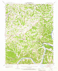
1948 · Eugene
USGS Topo · 1:62,500

1948 · Tavern
USGS Topo · 1:62,500
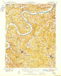
1950 · Meta
USGS Topo · 1:62,500
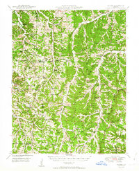
1950 · Tavern
USGS Topo · 1:62,500