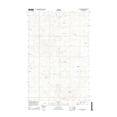
2014 Map of Van Dusen Spring
USGS Topo · Published 2014About this map
Van Dusen Spring serves as a vital water source in this arid stretch of Garfield County, where the landscape is defined by an intricate network of erosional drainage features. The terrain is deeply incised by numerous coulees, including Klein Coulee, Lynch Coulee, and Smiley Coulee, which channel seasonal runoff toward the south and east. These geological depressions reflect the classic high plains topography of eastern Montana, where water management is central to the land's utility. Human presence is marked by rural infrastructure such as the Guesanborn Reservoir and the paths of Guesanborn Rd and Sand Creek Rd, which provide access through the complex network of draws. The map illustrates a section of the Public Land Survey System across Township 15 North, Range 36 East, highlighting how early 20th-century ranching and land use patterns were dictated by the availability of water at sites like Sand Creek.
Find a feature on this map
14 named features on this map. Tap any name to fly to it.
Don’t see what you’re looking for? This feature index may not catch every label — zoom into the map to look around manually.
Map Details
Editions of this 2014 Van Dusen Spring Map
This is the sole edition of this map. No revisions or reprints were ever made.
Other maps of this area

1954 · Jordan
USGS Topo · 1:250,000

1954 · Forsyth
USGS Topo · 1:250,000

1956 · Jordan
USGS Topo · 1:250,000

1957 · Forsyth
USGS Topo · 1:250,000

1958 · Jordan
USGS Topo · 1:250,000

1958 · Forsyth
USGS Topo · 1:250,000

1964 · Jordan
USGS Topo · 1:250,000

1965 · Robertson School
USGS Topo · 1:24,000

1965 · Big Dry School
USGS Topo · 1:24,000

1965 · Edwards
USGS Topo · 1:24,000