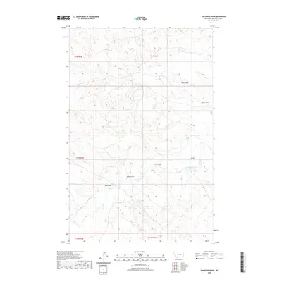
2020 Map of Van Dusen Spring
USGS Topo · Published 2020About this map
Van Dusen Spring serves as a focal point in this remote corner of Garfield County, where the high plains landscape is defined by an intricate network of drainage channels. The terrain is marked by numerous coulees and draws that move water across the ranching country, including Smiley Coulee, Wickstrom Coulee, and the long reach of Sand Cr. These features, alongside the Guesanborn Reservoir, illustrate the critical importance of water management in this arid Montana environment.
Find a feature on this map
14 named features on this map. Tap any name to fly to it.
Don’t see what you’re looking for? This feature index may not catch every label — zoom into the map to look around manually.
Map Details
Editions of this 2020 Van Dusen Spring Map
This is the sole edition of this map. No revisions or reprints were ever made.
Other maps of this area

1954 · Jordan
USGS Topo · 1:250,000

1954 · Forsyth
USGS Topo · 1:250,000

1956 · Jordan
USGS Topo · 1:250,000

1957 · Forsyth
USGS Topo · 1:250,000

1958 · Jordan
USGS Topo · 1:250,000

1958 · Forsyth
USGS Topo · 1:250,000

1964 · Jordan
USGS Topo · 1:250,000

1965 · Robertson School
USGS Topo · 1:24,000

1965 · Big Dry School
USGS Topo · 1:24,000

1965 · Edwards
USGS Topo · 1:24,000