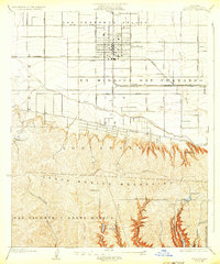
1926 Map of Van Nuys
USGS Topo · Published 1932About this map
The San Fernando Valley landscape was largely agricultural during the 1920s, dominated by the planned community of Van Nuys and the historical extents of the Ex Mission San Fernando. The early development of the region is traced through its grid of pioneer roads, including Van Owen Street and Oxnard Street, alongside the Southern Pacific railroad line that catalyzed local growth. The map illustrates a transitional era where early recreational landmarks like the Encino Country Club and Hollywood Country Club began to dot the foothills of the Santa Monica Mountains. South of the Los Angeles River, the terrain shifts toward steep canyons and early water infrastructure, including the Stone Canyon Reservoir and Franklin Canyon Reservoir. The legendary Mulholland Highway winds along the ridgeline, overlooking the deep ravines of Sepulveda Canyon and Benedict Canyon before descending toward Beverly Hills.
Find a feature on this map
35 named features on this map. Tap any name to fly to it.
Don’t see what you’re looking for? This feature index may not catch every label — zoom into the map to look around manually.
Map Details
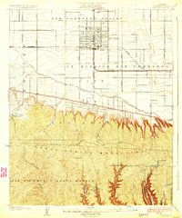
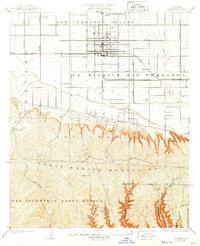
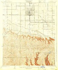
Editions of this 1926 Van Nuys Map
4 editions found
Other maps of this area

1894 · Los Angeles
USGS Topo · 1:62,500

1896 · Santa Monica
USGS Topo · 1:62,500

1898 · Santa Monica
USGS Topo · 1:62,500

1900 · Los Angeles
USGS Topo · 1:62,500

1901 · Southern California Sheet No. 1
USGS Topo · 1:250,000

1902 · Santa Monica
USGS Topo · 1:62,500

1903 · Calabasas
USGS Topo · 1:62,500

1903 · Camulos
USGS Topo · 1:125,000

1904 · Southern California Sheet No. 1
USGS Topo · 1:250,000

1920 · Santa Monica
USGS Topo · 1:62,500