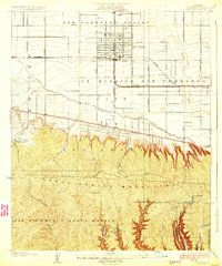
1926 Map of Van Nuys
USGS Topo · Published 1926About this map
The San Fernando Valley of the mid-1920s is captured here in a period of transition from expansive ranch lands to structured suburban grids. Centered on the growing hub of Van Nuys, the map illustrates a landscape still dominated by the historical footprint of the Ex Mission San Fernando. The Southern Pacific railroad serves as the primary artery for the valley, while the emerging street network, including Ventura Boulevard and Sherman Way, begins to define the future urban layout.
Find a feature on this map
34 named features on this map. Tap any name to fly to it.
Don’t see what you’re looking for? This feature index may not catch every label — zoom into the map to look around manually.
Map Details
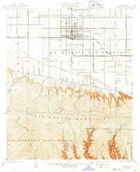
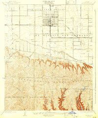
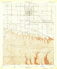
Editions of this 1926 Van Nuys Map
4 editions found
Other maps of this area

1894 · Los Angeles
USGS Topo · 1:62,500

1896 · Santa Monica
USGS Topo · 1:62,500

1898 · Santa Monica
USGS Topo · 1:62,500

1900 · Los Angeles
USGS Topo · 1:62,500

1901 · Southern California Sheet No. 1
USGS Topo · 1:250,000

1902 · Santa Monica
USGS Topo · 1:62,500

1903 · Calabasas
USGS Topo · 1:62,500

1903 · Camulos
USGS Topo · 1:125,000

1904 · Southern California Sheet No. 1
USGS Topo · 1:250,000

1920 · Santa Monica
USGS Topo · 1:62,500