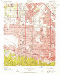
1953 Map of Van Nuys
USGS Topo · Published 1955About this map
Panorama City and Van Nuys emerge as dense residential hubs in this mid-century portrait of the San Fernando Valley. The landscape is defined by the rapid suburban expansion of the early 1950s, where traditional citrus groves and open fields have given way to a grid of schools and neighborhood centers. Significant regional infrastructure is prominent, including the Sepulveda Veterans Administration Hospital and the sprawling Sepulveda Flood Control Basin near the junction of Ventura Boulevard and Sepulveda Boulevard.
Find a feature on this map
93 named features on this map. Tap any name to fly to it.
Don’t see what you’re looking for? This feature index may not catch every label — zoom into the map to look around manually.
Map Details
Editions of this 1953 Van Nuys Map
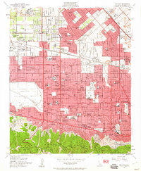
2 editions found
Other maps of this area

1894 · Los Angeles
USGS Topo · 1:62,500

1896 · Santa Monica
USGS Topo · 1:62,500

1898 · Santa Monica
USGS Topo · 1:62,500

1900 · Los Angeles
USGS Topo · 1:62,500

1900 · Fernando
USGS Topo · 1:62,500

1901 · Southern California Sheet No. 1
USGS Topo · 1:250,000

1902 · Santa Monica
USGS Topo · 1:62,500

1903 · Calabasas
USGS Topo · 1:62,500

1903 · Camulos
USGS Topo · 1:125,000

1903 · Santa Susana
USGS Topo · 1:62,500
Featured Places
- Los Angeles, CA
- Los Angeles County, CA
- United States
- California
- Van Nuys Neighborhood Council District, Los Angeles