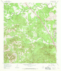
1967 Map of Van Raub
USGS Topo · Published 1969About this map
Van Raub and Leon Springs anchor this mid-century survey of the Hill Country borderlands, where the rising terrain of the Kremkau Divide meets the military and transit corridors of northwestern Bexar County. The landscape is defined by the Southern Pacific railroad and a network of winding routes like Boerne Stage Road and Scenic Loop Road, tracing the path of early development toward Grey Forest. This era shows a transition from rural ranching to institutional footprints, evidenced by the Concept Therapy Institute and the sprawling Camp Bullis Military Reservation. Local history is preserved in sites like the Robles Cem and family-named landmarks including Mt Round Hill and Mc Farland Hill. Natural water sources such as Moreles Spring and the headwaters of Leon Creek highlight the geological significance of the Balcones escarpment region.
Find a feature on this map
37 named features on this map. Tap any name to fly to it.
Don’t see what you’re looking for? This feature index may not catch every label — zoom into the map to look around manually.
Map Details
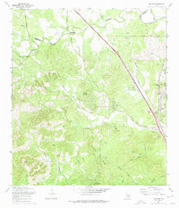
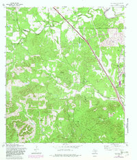
Editions of this 1967 Van Raub Map
3 editions found
Other maps of this area

1953 · Otis Ridge
USGS Topo · 1:24,000

1953 · Helotes
USGS Topo · 1:24,000

1953 · Castle Hills
USGS Topo · 1:24,000

1953 · Van Raub
USGS Topo · 1:24,000

1954 · San Antonio
USGS Topo · 1:250,000

1956 · Comfort
USGS Topo · 1:62,500

1956 · Medina Lake
USGS Topo · 1:62,500

1957 · Boerne
USGS Topo · 1:62,500

1957 · San Antonio
USGS Topo · 1:250,000

1964 · Boerne
USGS Topo · 1:24,000