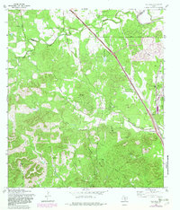
1967 Map of Van Raub
USGS Topo · Published 1982About this map
Van Raub and Leon Springs anchor this landscape along the edge of the Balcones Escarpment, where the Texas Hill Country meets the growing outskirts of the San Antonio area. The map illustrates a transition from the winding waterways of Balcones Creek and Cibolo Creek to the structured military boundaries of Camp Stanley Military Reservation and Camp Bullis Military Reservation. Historical transportation routes are prominent, including the Southern Pacific railroad line and the traditional path of the Boerne Stage Road. Local genealogy and social history are preserved through sites like the Robles Cem, the Balcones Community Center, and the more secluded Grey Forest settlement. This survey, updated with photorevisions, shows how the rural character of the Divide and landmarks like Cross Mountain remained largely intact even as regional roads like Scenic Loop Road and Babcock Road integrated the territory into the wider county network.
Find a feature on this map
40 named features on this map. Tap any name to fly to it.
Don’t see what you’re looking for? This feature index may not catch every label — zoom into the map to look around manually.
Map Details
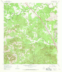
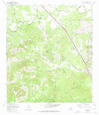
Editions of this 1967 Van Raub Map
3 editions found
Other maps of this area

1953 · Otis Ridge
USGS Topo · 1:24,000

1953 · Helotes
USGS Topo · 1:24,000

1953 · Castle Hills
USGS Topo · 1:24,000

1953 · Van Raub
USGS Topo · 1:24,000

1954 · San Antonio
USGS Topo · 1:250,000

1956 · Comfort
USGS Topo · 1:62,500

1956 · Medina Lake
USGS Topo · 1:62,500

1957 · Boerne
USGS Topo · 1:62,500

1957 · San Antonio
USGS Topo · 1:250,000

1964 · Boerne
USGS Topo · 1:24,000