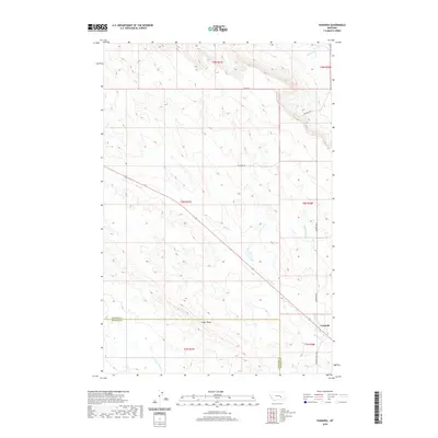
2020 Map of Vananda
USGS Topo · Published 2020About this map
Vananda sits at the junction of rail and road in this high plains landscape, situated near the boundary between Rosebud and Treasure Counties. The settlement's layout is defined by its proximity to Horse Cr, which carves a diagonal path across the quadrangle. The surrounding terrain is marked by significant topographical features like Cedar Ridge and a network of drainages including Big Porcupine Cr and the uniquely named Starved to Death Cr. Local transit is facilitated by a system of rural routes such as Scott Rd, McCaskie Rd, and Vananda Rd N, reflecting a ranching or agricultural economy spread across large townships. This 2020 edition detail reveals how contemporary land use and modern surveying maintain the established paths of historic Montana homesteads and water rights.
Find a feature on this map
18 named features on this map. Tap any name to fly to it.
Don’t see what you’re looking for? This feature index may not catch every label — zoom into the map to look around manually.
Map Details
Editions of this 2020 Vananda Map
This is the sole edition of this map. No revisions or reprints were ever made.
Other maps of this area

1954 · Forsyth
USGS Topo · 1:250,000

1957 · Forsyth
USGS Topo · 1:250,000

1958 · Forsyth
USGS Topo · 1:250,000

1960 · Hysham
USGS Topo · 1:24,000

1960 · Vananda
USGS Topo · 1:24,000

1960 · Ahles
USGS Topo · 1:24,000

1960 · Sanders
USGS Topo · 1:24,000

1960 · Thebes
USGS Topo · 1:24,000

1960 · Zempel Lake
USGS Topo · 1:24,000

1968 · Donleys Reservoir
USGS Topo · 1:24,000