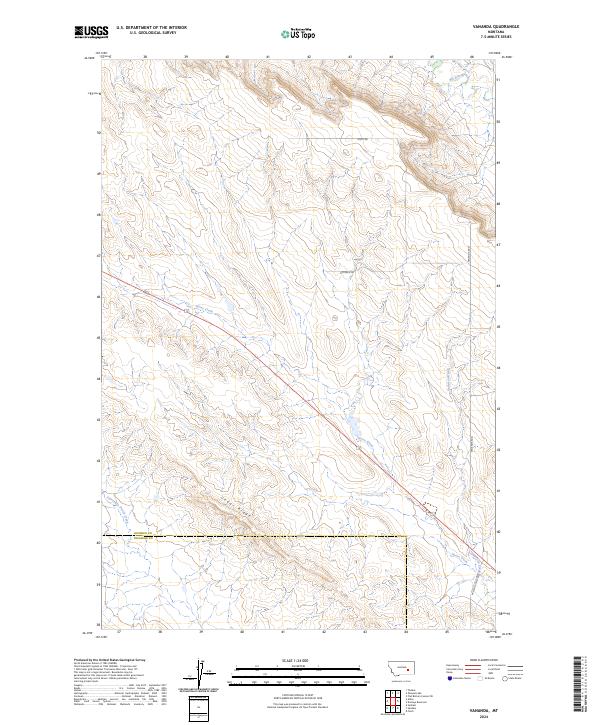
2024 Map of Vananda
USGS Topo · Published 2024About this map
Cedar Ridge anchors the central landscape of this territory, where the drainages of eastern Montana define the local geography. The map illustrates a transitional environment at the Rosebud Co Treasure Co boundary, shaped by seasonal watercourses and a sparse network of rural routes. Significant waterways like Horse Creek and Big Porcupine Creek cut through the terrain, indicating the primary hydrological patterns that have historically influenced land use and ranching in this part of the state.
Find a feature on this map
16 named features on this map. Tap any name to fly to it.
Don’t see what you’re looking for? This feature index may not catch every label — zoom into the map to look around manually.
Map Details
Editions of this 2024 Vananda Map
This is the sole edition of this map. No revisions or reprints were ever made.
Other maps of this area

1954 · Forsyth
USGS Topo · 1:250,000

1957 · Forsyth
USGS Topo · 1:250,000

1958 · Forsyth
USGS Topo · 1:250,000

1960 · Hysham
USGS Topo · 1:24,000

1960 · Vananda
USGS Topo · 1:24,000

1960 · Ahles
USGS Topo · 1:24,000

1960 · Sanders
USGS Topo · 1:24,000

1960 · Thebes
USGS Topo · 1:24,000

1960 · Zempel Lake
USGS Topo · 1:24,000

1968 · Donleys Reservoir
USGS Topo · 1:24,000