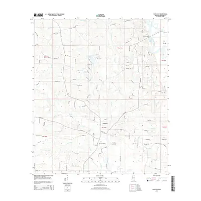
2015 Map of Vancleave
USGS Topo · Published 2015About this map
Pascagoula River bottomlands and the associated bayou systems define the eastern edge of this Jackson County landscape. The settlement of Vancleave sits at the heart of a network of creeks and branches, including Bluff Creek and Little Bluff Creek. The map shows a transition from the structured residential roads like Rolling Hills Drive and Dogwood Drive to the riverfront economy represented by Dees Landing and McCall Landing. Genealogists may find value in the scattered burial grounds that reflect early family holdings, such as Ladner Cemetery and Graham Cemetery, alongside the Old Shiloh Cemetery. To the east, the complex water network of Ward Bayou, Jonican Bayou, and Paige Bayou illustrates the marshy, low-lying character of the river valley before it reaches the Gulf Coast.
Find a feature on this map
142 named features on this map. Tap any name to fly to it.
Don’t see what you’re looking for? This feature index may not catch every label — zoom into the map to look around manually.
Map Details
Editions of this 2015 Vancleave Map
This is the sole edition of this map. No revisions or reprints were ever made.
Other maps of this area

1941 · Vancleave
USGS Topo · 1:62,500

1943 · Pascagoula
USGS Topo · 1:62,500

1943 · Vancleave
USGS Topo · 1:62,500

1944 · Vancleave
USGS Topo · 1:62,500

1953 · Mobile
USGS Topo · 1:250,000

1954 · Vestry
USGS Topo · 1:62,500

1954 · Ocean Springs
USGS Topo · 1:24,000

1954 · Biloxi
USGS Topo · 1:62,500

1955 · Pascagoula
USGS Topo · 1:62,500

1957 · Mobile
USGS Topo · 1:250,000