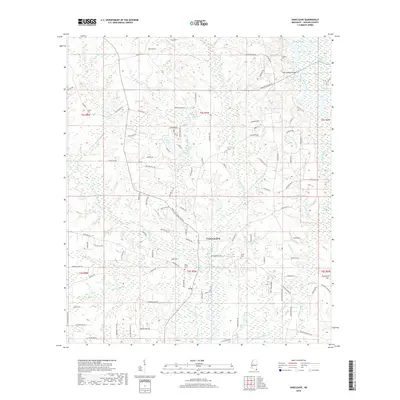
2018 Map of Vancleave
USGS Topo · Published 2018About this map
The settlement of Vancleave serves as the focal point of this late 2010s study, situated just west of the winding Pascagoula River. This coastal Mississippi landscape is defined by its intricate network of bayous and wetlands, where Bluff Creek and Little Bluff Creek drain toward the river system. The presence of numerous small cemeteries, including Old Shiloh Cem and Carter Cem, provides valuable points of interest for genealogists and local historians tracking family lineage in Jackson County.
Find a feature on this map
124 named features on this map. Tap any name to fly to it.
Don’t see what you’re looking for? This feature index may not catch every label — zoom into the map to look around manually.
Map Details
Editions of this 2018 Vancleave Map
This is the sole edition of this map. No revisions or reprints were ever made.
Other maps of this area

1941 · Vancleave
USGS Topo · 1:62,500

1943 · Pascagoula
USGS Topo · 1:62,500

1943 · Vancleave
USGS Topo · 1:62,500

1944 · Vancleave
USGS Topo · 1:62,500

1953 · Mobile
USGS Topo · 1:250,000

1954 · Vestry
USGS Topo · 1:62,500

1954 · Ocean Springs
USGS Topo · 1:24,000

1954 · Biloxi
USGS Topo · 1:62,500

1955 · Pascagoula
USGS Topo · 1:62,500

1957 · Mobile
USGS Topo · 1:250,000