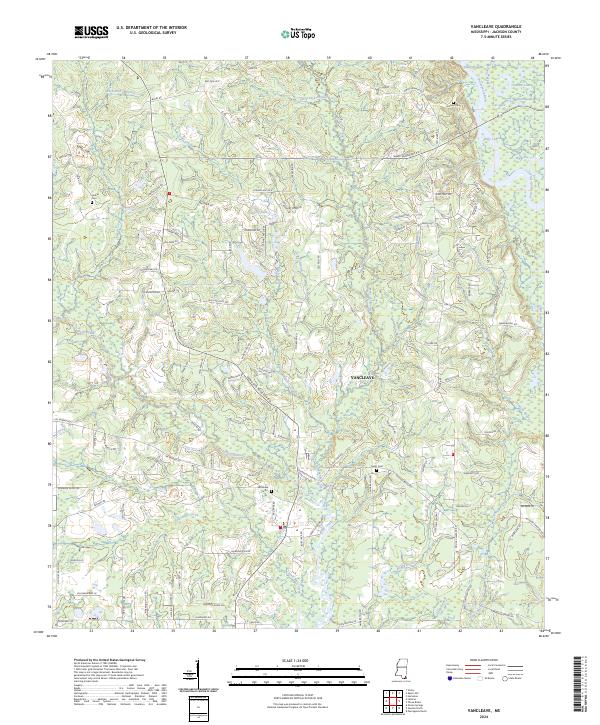
2024 Map of Vancleave
USGS Topo · Published 2024About this map
Vancleave is situated within a dense network of watercourses and wetlands where the Pascagoula River system dominates the eastern landscape. This 2024 map details the complex riparian environment defined by features like Ward Bayou, Jonican Bayou, and Poticaw Bayou. The intricate drainage patterns of Bluff Creek and Little Bluff Creek cut through the central terrain, while numerous lakes including Graham Lake, Black Lake, and Polly Lake dot the northeastern corner.
Find a feature on this map
119 named features on this map. Tap any name to fly to it.
Don’t see what you’re looking for? This feature index may not catch every label — zoom into the map to look around manually.
Map Details
Editions of this 2024 Vancleave Map
This is the sole edition of this map. No revisions or reprints were ever made.
Other maps of this area

1941 · Vancleave
USGS Topo · 1:62,500

1943 · Pascagoula
USGS Topo · 1:62,500

1943 · Vancleave
USGS Topo · 1:62,500

1944 · Vancleave
USGS Topo · 1:62,500

1953 · Mobile
USGS Topo · 1:250,000

1954 · Vestry
USGS Topo · 1:62,500

1954 · Ocean Springs
USGS Topo · 1:24,000

1954 · Biloxi
USGS Topo · 1:62,500

1955 · Pascagoula
USGS Topo · 1:62,500

1957 · Mobile
USGS Topo · 1:250,000