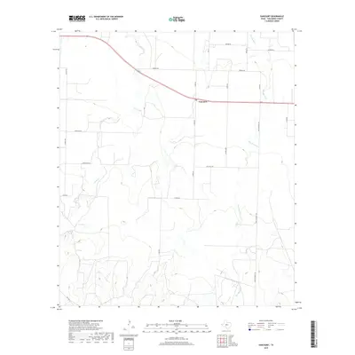
2019 Map of Vancourt
USGS Topo · Published 2019About this map
Vancourt anchors this section of Tom Green County, situated at a bend in the local highway where the plains begin to ripple with the drainage basins of the Concho River valley. The landscape is defined by the subtle, winding paths of Lipan Cr and Hog Marsh Cr, which carve shallow depressions across the terrain. These watercourses have long shaped the ranching and agricultural patterns of the region, visible here through a network of rural roads such as Fort McKavett Rd and Fm 1223. The survey captures the sparse but organized settlement pattern of West Texas, where large landholdings are accessed by named family routes like Brenek Rd, Powell Ln, and Jones Rd. This layout illustrates a modern era of land management where traditional livestock corridors have evolved into a structured grid of farm-to-market access.
Find a feature on this map
20 named features on this map. Tap any name to fly to it.
Don’t see what you’re looking for? This feature index may not catch every label — zoom into the map to look around manually.
Map Details
Editions of this 2019 Vancourt Map
This is the sole edition of this map. No revisions or reprints were ever made.
Other maps of this area
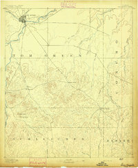
1892 · San Angelo
USGS Topo · 1:125,000
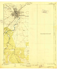
1928 · Wall
USGS Topo · 1:62,500

1954 · San Angelo
USGS Topo · 1:250,000
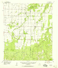
1957 · Eola
USGS Topo · 1:62,500
1957 · Wall
USGS Topo · 1:62,500
1958 · San Angelo
USGS Topo · 1:250,000
1965 · San Angelo
USGS Topo · 1:250,000
1970 · Burr Oak Creek
USGS Topo · 1:24,000
1970 · Kickapoo Spring
USGS Topo · 1:24,000
1972 · Susan Peak
USGS Topo · 1:24,000