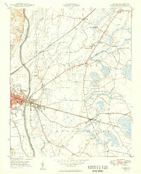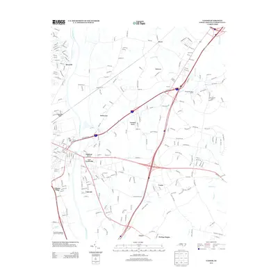
1997 Map of Vander
USGS Topo · Published 2000About this map
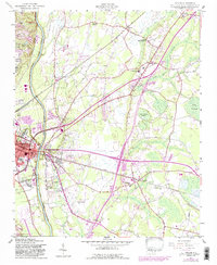
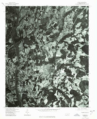
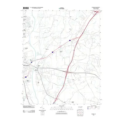
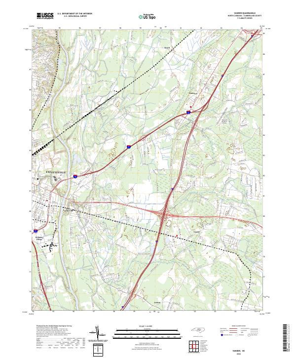
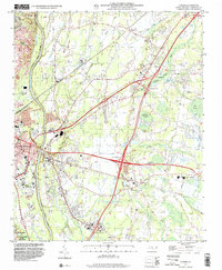
The Cape Fear River dominates the western edge of this landscape, where the urban fringe of Fayetteville meets a complex network of wetlands and drainage canals. Modern infrastructure is defined by a series of major interchanges including Interchange 52 and Interchange 55, which cut through the rural communities of Vander and Eastover. Away from the highways, the map reveals a deeply established social landscape marked by numerous country churches such as Lebanon Missionary Ch and Good Hope Missionary Ch. The eastern terrain is characterized by specialized wetland features like the Brace Pocosin and an extensive system of man-made waterways including the Gum Swamp Canal and Log Canal. Near the southern border, the Fayetteville Regional Airport Grannis Field signifies the area's continued regional importance in the late twentieth century.
Find a feature on this map
51 named features on this map. Tap any name to fly to it.
Don’t see what you’re looking for? This feature index may not catch every label — zoom into the map to look around manually.
Map Details
Editions of this 1997 Vander Map
This is the sole edition of this map. No revisions or reprints were ever made.
Historical Maps of Fayetteville Through Time
9 maps found