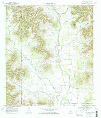
1969 Map of Vanderpool
USGS Topo · Published 1972About this map
Vanderpool anchors this Hill Country landscape, situated at the confluence where Mill Creek meets the Sabinal River. The 1969 topography reveals a rugged limestone terrain defined by deeply etched drainages like Starvation Hollow and Indian Hollow, alongside prominent elevations such as Taylor Mountain and Wernette Mountain. The settlement pattern follows the river valleys, with ranch roads and selected fence lines tracing the contours of the land. Evidence of local infrastructure and community history is visible in the presence of a Landing Strip, a Gravel Pit, and the Jones Cem located near the southern boundary. This survey, mapped just before the turn of the 1970s, documents a transition in land use where traditional livestock ranching and newer utility infrastructure, represented by the local Substation, intersect across the Bandera Co and Uvalde Co line.
Find a feature on this map
39 named features on this map. Tap any name to fly to it.
Don’t see what you’re looking for? This feature index may not catch every label — zoom into the map to look around manually.
Map Details
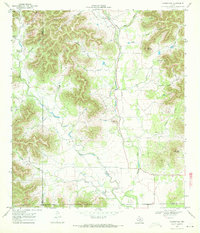
Editions of this 1969 Vanderpool Map
2 editions found
Other maps of this area

1954 · San Antonio
USGS Topo · 1:250,000

1956 · Tarpley
USGS Topo · 1:62,500

1956 · Tuff
USGS Topo · 1:62,500

1956 · Utopia
USGS Topo · 1:62,500

1957 · San Antonio
USGS Topo · 1:250,000

1960 · Magers Crossing
USGS Topo · 1:24,000

1964 · Circle Bluff
USGS Topo · 1:24,000

1964 · Sabinal Canyon
USGS Topo · 1:24,000
1964 · Love Creek
USGS Topo · 1:24,000
1964 · Seco Pass
USGS Topo · 1:24,000