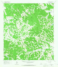
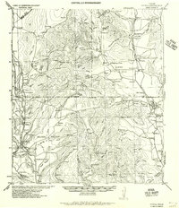
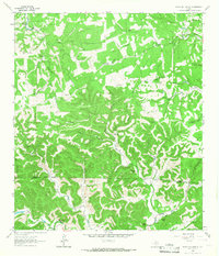
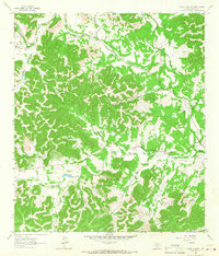
1964 Map of Love Creek
USGS Topo · Published 1967About this map
The North Prong Medina River and West Prong Medina River carve through this section of the Texas Hill Country, defining a landscape of deep hollows and spring-fed creeks. Settlement here in the mid-1960s is characterized by significant ranch holdings, including the Money Creek Ranch, Honey Creek Ranch, and the descriptively named Rock Chimney Ranch. Small, isolated landmarks like the Hillman Cem and Adams Cem provide vital clues for genealogists tracking early families in this part of Bandera County.
Find a feature on this map
63 named features on this map. Tap any name to fly to it.
Don’t see what you’re looking for? This feature index may not catch every label — zoom into the map to look around manually.
Map Details
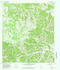
Editions of this 1964 Love Creek Map
2 editions found
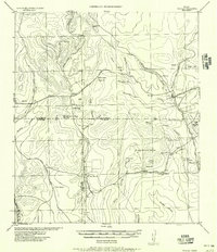
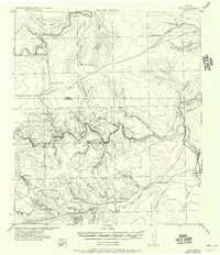
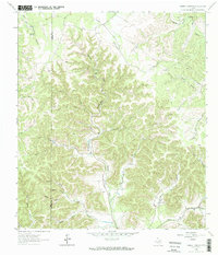
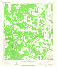
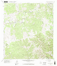
Other maps of this area

1954 · San Antonio
USGS Topo · 1:250,000
1956 · Tarpley
USGS Topo · 1:62,500
1956 · Tuff
USGS Topo · 1:62,500
1956 · Utopia
USGS Topo · 1:62,500

1957 · San Antonio
USGS Topo · 1:250,000
1964 · Sabinal Canyon
USGS Topo · 1:24,000
1964 · Well Hollow
USGS Topo · 1:24,000
1964 · Diamond S Ranch
USGS Topo · 1:24,000
1964 · Echo Hill Ranch
USGS Topo · 1:24,000
1964 · A Bar A Ranch
USGS Topo · 1:24,000