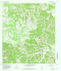
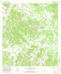
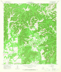
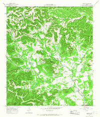
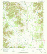
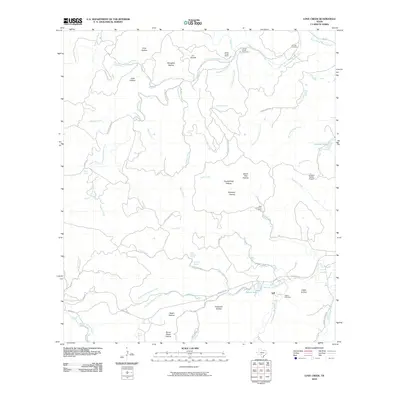
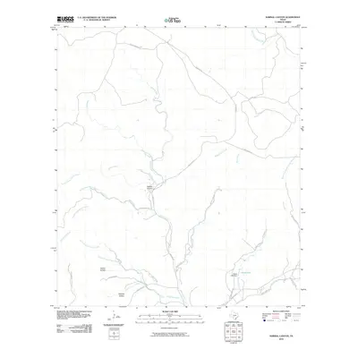
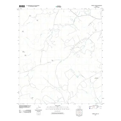
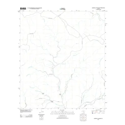
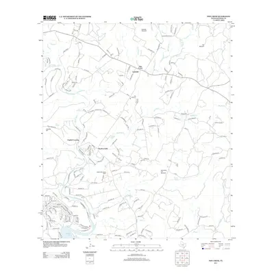
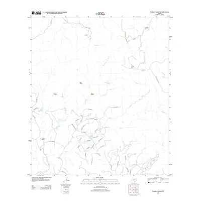
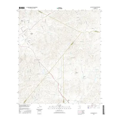
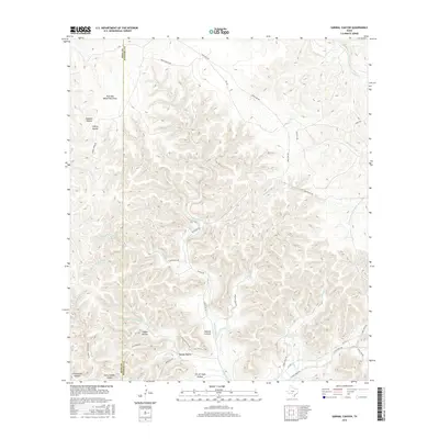
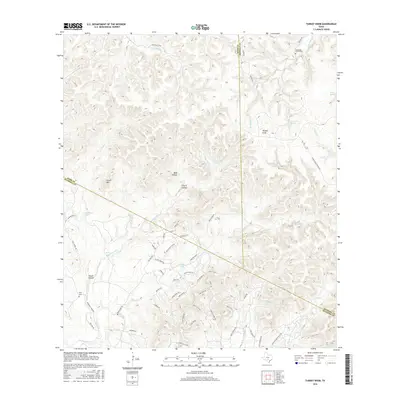
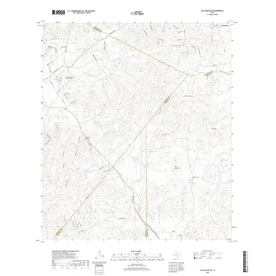
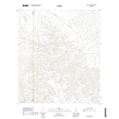
1964 Map of Love Creek
USGS Topo · Published 1982About this map
The North Prong Medina River and West Prong Medina River converge in this Texas Hill Country landscape, defining a terrain of steep-sided draws and limestone hollows. Small ranching outposts and remote burial sites like Hillman Cem and Adams Cem are tucked into the drainages, marking the endurance of early families in Bandera County. The settlement of Tuff and landmarks such as Rock Chimney Ranch illustrate the localized character of the region's mid-century rural development.
Find a feature on this map
58 named features on this map. Tap any name to fly to it.
Don’t see what you’re looking for? This feature index may not catch every label — zoom into the map to look around manually.
Map Details
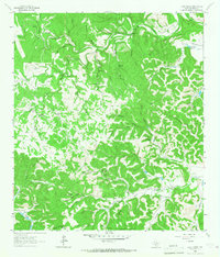
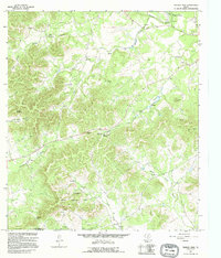
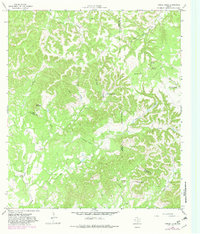
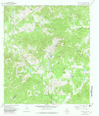
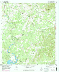
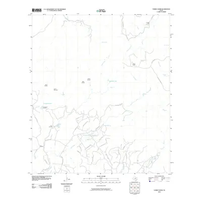
Editions of this 1964 Love Creek Map
2 editions found
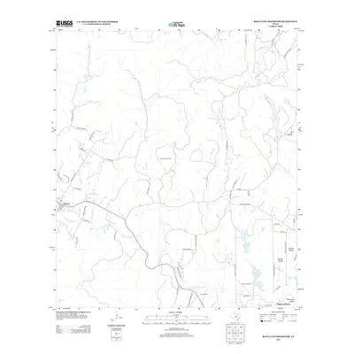
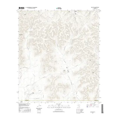
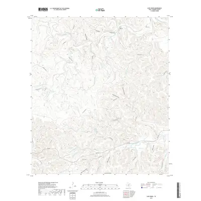
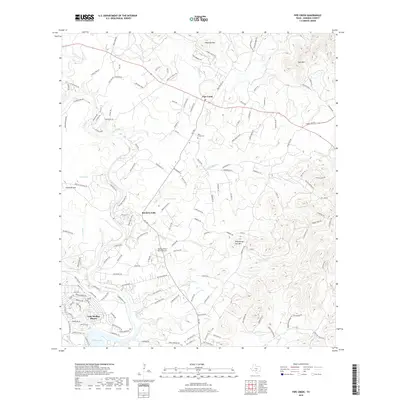
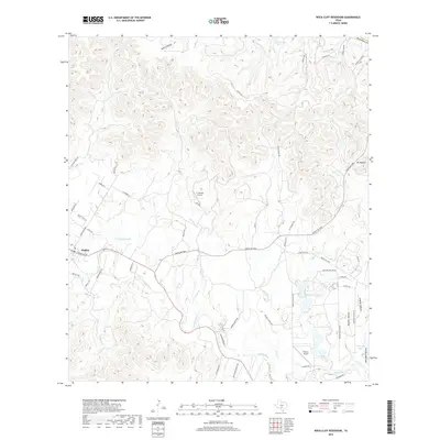
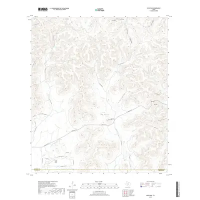
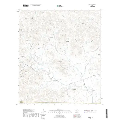
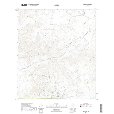
Historical Maps of Tuff Through Time
75 maps found

1956 Medina Lake
Bandera County, TX
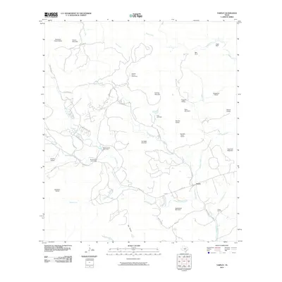
1956 Tarpley
Bandera County, TX
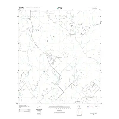
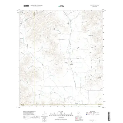
1956 Tuff
Bandera County, TX
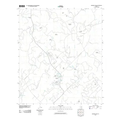
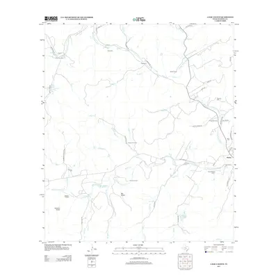
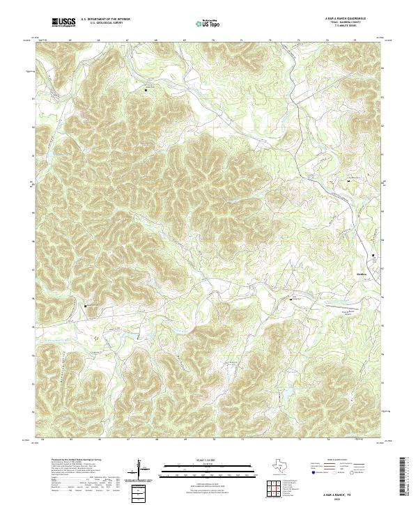
1964 A Bar A Ranch
Bandera County, TX
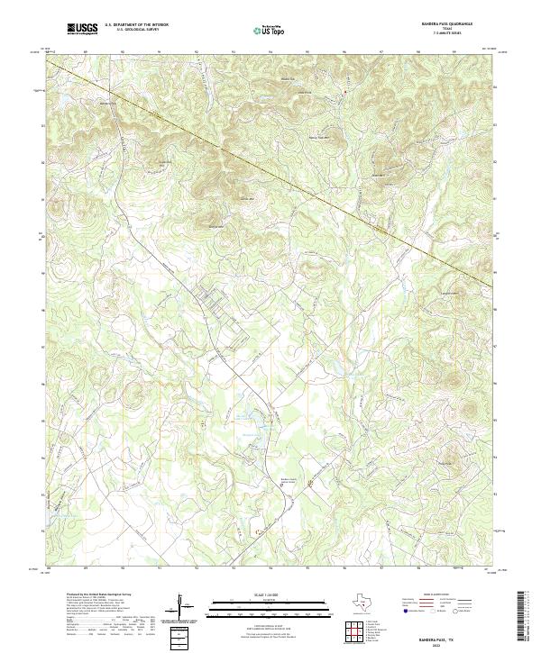
1964 Bandera Pass
Bandera County, TX
1964 Love Creek
Bandera County, TX
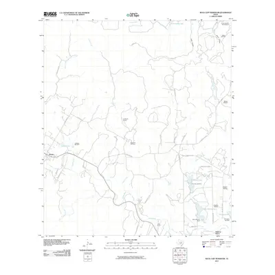
1964 Rock Cliff Reservoir
Bandera County, TX
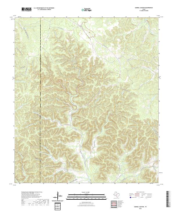
1964 Sabinal Canyon
Bandera County, TX
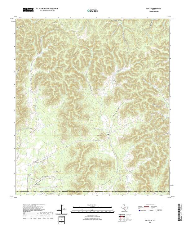
1964 Seco Pass
Bandera County, TX
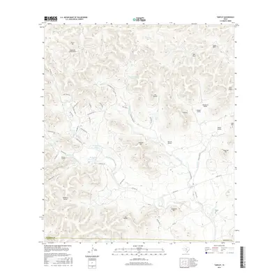
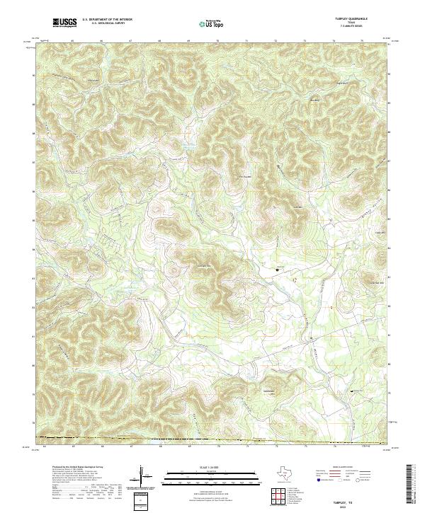
1964 Tarpley
Bandera County, TX
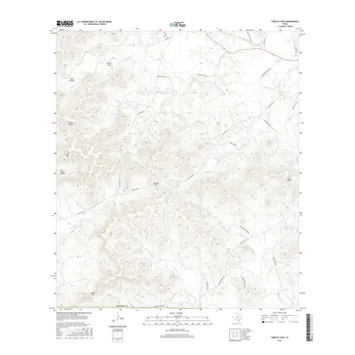
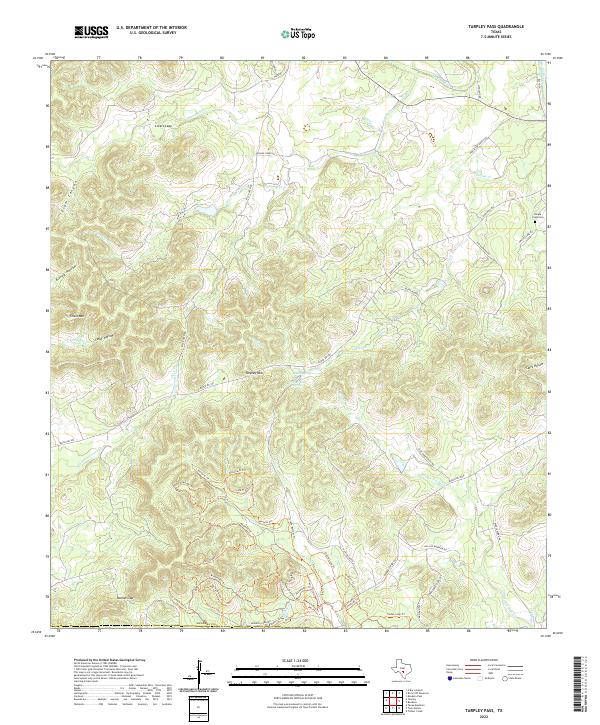
1964 Tarpley Pass
Bandera County, TX
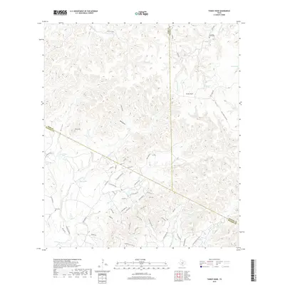
1964 Turkey Knob
Bandera County, TX
1969 Vanderpool
Bandera County, TX
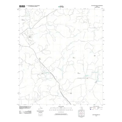
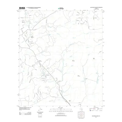
1970 Jack Mountain
Bandera County, TX
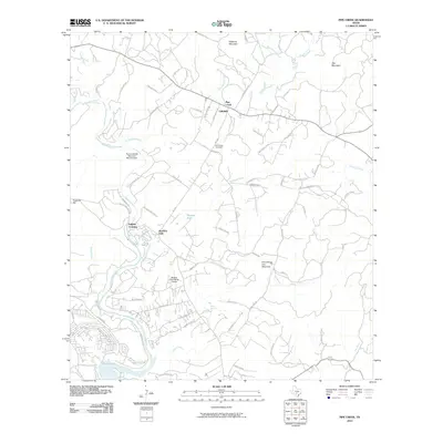
1970 Pipe Creek
Bandera County, TX
2010 A Bar A Ranch
Bandera County, TX
2010 Bandera Pass
Bandera County, TX
2010 Jack Mountain
Bandera County, TX
2010 Love Creek
Bandera County, TX
2010 Pipe Creek
Bandera County, TX
2010 Rock Cliff Reservoir
Bandera County, TX
2010 Sabinal Canyon
Bandera County, TX
2010 Seco Pass
Bandera County, TX
2010 Tarpley
Bandera County, TX
2010 Tarpley Pass
Bandera County, TX
2010 Turkey Knob
Bandera County, TX
2010 Vanderpool
Bandera County, TX
2012 Love Creek
Bandera County, TX
2012 Sabinal Canyon
Bandera County, TX
2013 A Bar A Ranch
Bandera County, TX
2013 Bandera Pass
Bandera County, TX
2013 Jack Mountain
Bandera County, TX
2013 Pipe Creek
Bandera County, TX
2013 Rock Cliff Reservoir
Bandera County, TX

2013 Seco Pass
Bandera County, TX
2013 Tarpley
Bandera County, TX
2013 Tarpley Pass
Bandera County, TX
2013 Turkey Knob
Bandera County, TX
2013 Vanderpool
Bandera County, TX
2016 A Bar A Ranch
Bandera County, TX
2016 Bandera Pass
Bandera County, TX
2016 Jack Mountain
Bandera County, TX
2016 Love Creek
Bandera County, TX
2016 Pipe Creek
Bandera County, TX
2016 Rock Cliff Reservoir
Bandera County, TX
2016 Sabinal Canyon
Bandera County, TX
2016 Seco Pass
Bandera County, TX
2016 Tarpley
Bandera County, TX
2016 Tarpley Pass
Bandera County, TX
2016 Turkey Knob
Bandera County, TX
2016 Vanderpool
Bandera County, TX
2019 A Bar A Ranch
Bandera County, TX
2019 Bandera Pass
Bandera County, TX
2019 Jack Mountain
Bandera County, TX
2019 Love Creek
Bandera County, TX
2019 Pipe Creek
Bandera County, TX
2019 Rock Cliff Reservoir
Bandera County, TX
2019 Sabinal Canyon
Bandera County, TX
2019 Seco Pass
Bandera County, TX
2019 Tarpley
Bandera County, TX
2019 Tarpley Pass
Bandera County, TX
2019 Turkey Knob
Bandera County, TX
2019 Vanderpool
Bandera County, TX
2022 A Bar A Ranch
Bandera County, TX
2022 Bandera Pass
Bandera County, TX
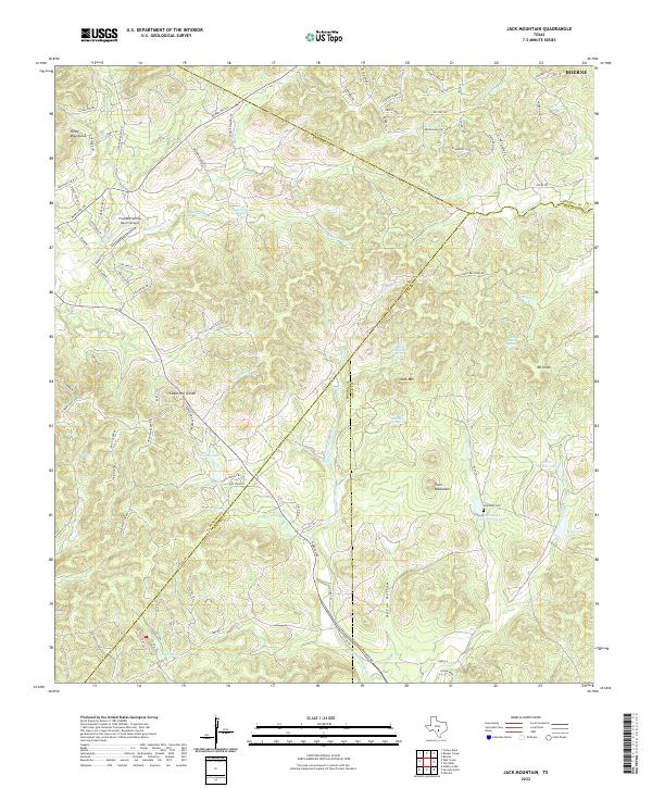
2022 Jack Mountain
Bandera County, TX
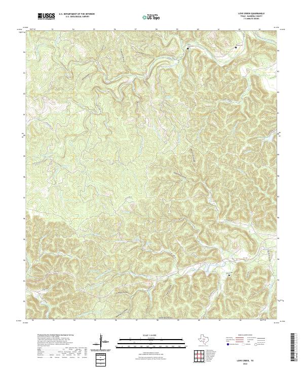
2022 Love Creek
Bandera County, TX
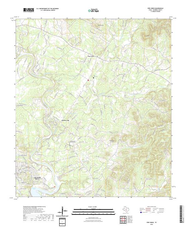
2022 Pipe Creek
Bandera County, TX
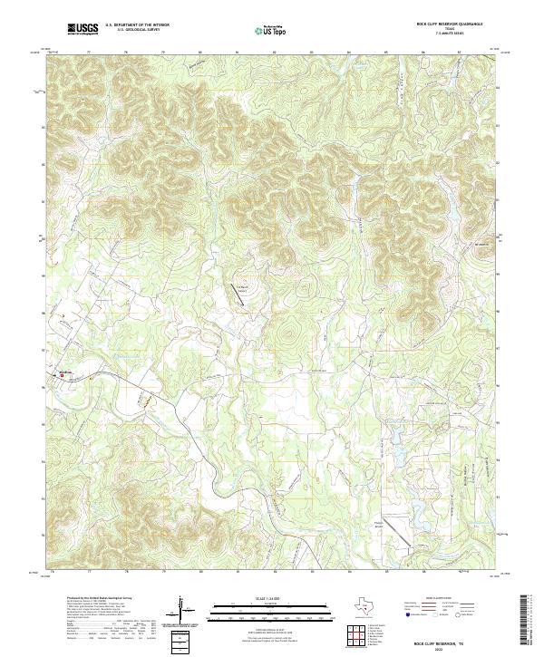
2022 Rock Cliff Reservoir
Bandera County, TX
2022 Sabinal Canyon
Bandera County, TX
2022 Seco Pass
Bandera County, TX
2022 Tarpley
Bandera County, TX
2022 Tarpley Pass
Bandera County, TX
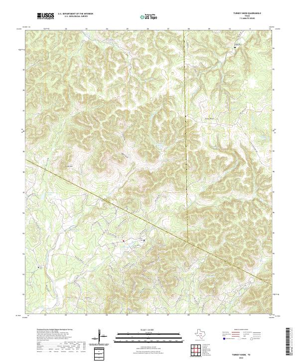
2022 Turkey Knob
Bandera County, TX
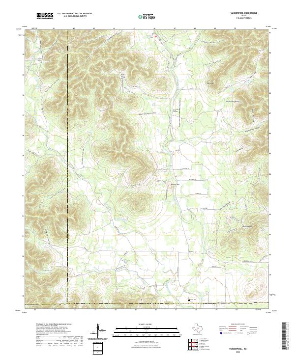
2022 Vanderpool
Bandera County, TX