2024 Map of Vandervoort
USGS Topo · Published 2024About this map
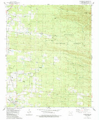
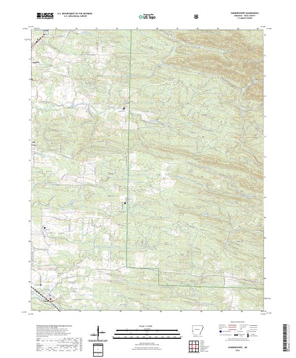
Vandervoort and the nearby community of Old Cove anchor the southern portion of this Arkansas landscape, where the terrain transitions into the protected acreage of the Ouachita National Forest. The map documents a rural network of county and forest roads, such as Polk Road 36 and Harris Rd, which serve small settlements and family burial grounds scattered throughout the hills. Genealogists will find numerous local landmarks, including the Lone Valley Cem and Sixmile Cem near Hatfield. The area is defined by a dense drainage system of creeks like Sixmile Creek, Buffalo Creek, and Flat Creek, illustrating the natural watercourses that shaped the development of Polk County. This survey provides a modern view of the enduring road and waterway patterns that have defined these communities for generations.
Find a feature on this map
73 named features on this map. Tap any name to fly to it.
Don’t see what you’re looking for? This feature index may not catch every label — zoom into the map to look around manually.
Map Details
Editions of this 2024 Vandervoort Map
This is the sole edition of this map. No revisions or reprints were ever made.