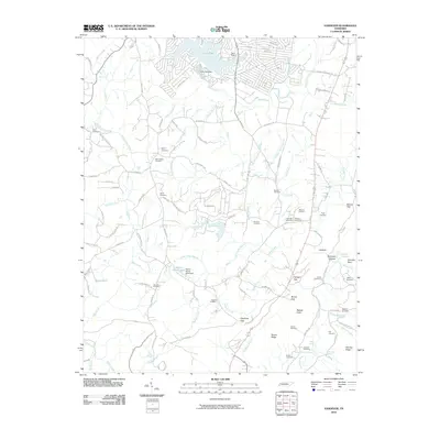
2010 Map of Vandever
USGS Topo · Published 2010About this map
Lake Tansi and the Tansi Resort development anchor the northern landscape of this Cumberland County survey, where residential growth meets the intricate drainage of the Tennessee plateau. The terrain is defined by a dense network of small waterways including Basses Creek, Daddys Creek, and the Sulphur Spring Branch. These streams have carved a complex topography of gaps and ridges, notably at Morris Gap and Stephens Gap, leading down toward the Head of Sequatchie.
Find a feature on this map
118 named features on this map. Tap any name to fly to it.
Don’t see what you’re looking for? This feature index may not catch every label — zoom into the map to look around manually.
Map Details
Editions of this 2010 Vandever Map
This is the sole edition of this map. No revisions or reprints were ever made.
Other maps of this area

1887 · Kingston
USGS Topo · 1:125,000

1891 · Kingston
USGS Topo · 1:125,000

1892 · Pikeville
USGS Topo · 1:125,000

1893 · Kingston
USGS Topo · 1:125,000

1895 · Pikeville
USGS Topo · 1:125,000

1909 · Sequatchie Valley
USGS Topo · 1:62,500

1910 · Pikeville
USGS Topo · 1:62,500

1912 · Crossville
USGS Topo · 1:62,500

1935 · Melvine
USGS Topo · 1:24,000

1935 · Pennine
USGS Topo · 1:24,000