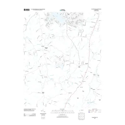
2013 Map of Vandever
USGS Topo · Published 2013About this map
Lake Tansi serves as a modern focal point in this portion of Cumberland County, where residential development is marked by a distinctive network of themed roads like Cherokee Trl and Chickasaw Dr. To the south, the landscape shifts toward older rural clusters such as Vandever and Nicholson Heights, revealing a transition from recreational water-front planning to traditional upland agriculture. This area is deeply etched by the drainage of Daddys Cr and Lick Cr, which carve through the plateau toward the dramatic relief of the Sequatchie River valley.
Find a feature on this map
238 named features on this map. Tap any name to fly to it.
Don’t see what you’re looking for? This feature index may not catch every label — zoom into the map to look around manually.
Map Details
Editions of this 2013 Vandever Map
This is the sole edition of this map. No revisions or reprints were ever made.
Other maps of this area

1887 · Kingston
USGS Topo · 1:125,000

1891 · Kingston
USGS Topo · 1:125,000

1892 · Pikeville
USGS Topo · 1:125,000

1893 · Kingston
USGS Topo · 1:125,000

1895 · Pikeville
USGS Topo · 1:125,000

1909 · Sequatchie Valley
USGS Topo · 1:62,500

1910 · Pikeville
USGS Topo · 1:62,500

1912 · Crossville
USGS Topo · 1:62,500

1935 · Melvine
USGS Topo · 1:24,000

1935 · Pennine
USGS Topo · 1:24,000