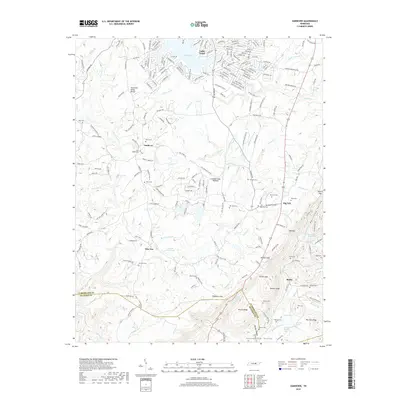
2019 Map of Vandever
USGS Topo · Published 2019About this map
The Tennessee Valley Divide and the Cumberland Plateau meet in this 2019 survey, defining a landscape of high ridges and deep hollows along the border of Cumberland and Bledsoe Counties. Small rural settlements like Vandever and New Era are reached by winding roads such as Vandever Rd and Jerry Edmonds Rd. The area is notably dense with family-named burial grounds, including the New Era Cem, Musick Cem, and Hale Chapel Cem, providing critical geographic context for genealogists tracing local families.
Find a feature on this map
216 named features on this map. Tap any name to fly to it.
Don’t see what you’re looking for? This feature index may not catch every label — zoom into the map to look around manually.
Map Details
Editions of this 2019 Vandever Map
This is the sole edition of this map. No revisions or reprints were ever made.
Other maps of this area

1887 · Kingston
USGS Topo · 1:125,000

1891 · Kingston
USGS Topo · 1:125,000

1892 · Pikeville
USGS Topo · 1:125,000

1893 · Kingston
USGS Topo · 1:125,000

1895 · Pikeville
USGS Topo · 1:125,000

1909 · Sequatchie Valley
USGS Topo · 1:62,500

1910 · Pikeville
USGS Topo · 1:62,500

1912 · Crossville
USGS Topo · 1:62,500

1935 · Melvine
USGS Topo · 1:24,000

1935 · Pennine
USGS Topo · 1:24,000