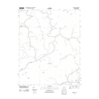
2011 Map of Varilla
USGS Topo · Published 2011About this map
Varilla and Calvin sit at the northern edge of this terrain, where the Cumberland River carves its path through the mountains of southeastern Kentucky. The landscape is defined by the massive ridge of Brush Mountain and the high point at Jackson Knob, creating a complex network of hollows and gaps such as Chadwell Gap and Butchers Gap. Numerous small family cemeteries are tucked away in these valleys, including the Miracle Cemetery, Greene Cemetery, and Bailey Cemetery, which offer valuable points of reference for genealogists tracking local families.
Find a feature on this map
63 named features on this map. Tap any name to fly to it.
Don’t see what you’re looking for? This feature index may not catch every label — zoom into the map to look around manually.
Map Details
Editions of this 2011 Varilla Map
This is the sole edition of this map. No revisions or reprints were ever made.
Other maps of this area

1886 · Cumberland Gap
USGS Topo · 1:125,000

1887 · Jonesville
USGS Topo · 1:125,000

1888 · Cumberland Gap
USGS Topo · 1:125,000

1891 · Cumberland Gap
USGS Topo · 1:125,000

1891 · Jonesville
USGS Topo · 1:125,000

1903 · Harlan
USGS Topo · 1:48,000

1903 · Pineville
USGS Topo · 1:48,000

1903 · Middlesboro
USGS Topo · 1:48,000

1916 · Harlan
USGS Topo · 1:48,000

1919 · Harlan
USGS Topo · 1:62,500