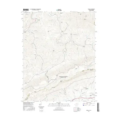
2016 Map of Varilla
USGS Topo · Published 2016About this map
Cumberland Gap National Historical Park dominates the southern landscape of this terrain, where the high ridgeline of Cumberland Mountain forms the border between Kentucky and Virginia. Along this rugged crest, historic sites such as Hensley Flats and the Hensley Cem reflect a distinct upland settlement pattern that persisted well into the twentieth century. The geography is defined by the Tennessee Valley Divide, which separates the north-flowing waters of the Cumberland River from the southern drainages. In the lower valleys, small communities like Varilla, Oaks, and Hutch are linked by winding routes such as Wilderness Rd and Quarry Rd. Family-named landmarks are abundant throughout the hollows, including Jackson Cem, Miracle Cem, and Buell Cem, providing significant geographic context for genealogists and researchers of the Bell County and Lee County borderlands.
Find a feature on this map
91 named features on this map. Tap any name to fly to it.
Don’t see what you’re looking for? This feature index may not catch every label — zoom into the map to look around manually.
Map Details
Editions of this 2016 Varilla Map
This is the sole edition of this map. No revisions or reprints were ever made.
Other maps of this area

1886 · Cumberland Gap
USGS Topo · 1:125,000

1887 · Jonesville
USGS Topo · 1:125,000

1888 · Cumberland Gap
USGS Topo · 1:125,000

1891 · Cumberland Gap
USGS Topo · 1:125,000

1891 · Jonesville
USGS Topo · 1:125,000

1903 · Harlan
USGS Topo · 1:48,000

1903 · Pineville
USGS Topo · 1:48,000

1903 · Middlesboro
USGS Topo · 1:48,000

1916 · Harlan
USGS Topo · 1:48,000

1919 · Harlan
USGS Topo · 1:62,500