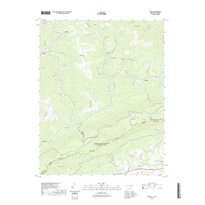
2019 Map of Varilla
USGS Topo · Published 2019About this map
Cumberland Gap National Historical Park dominates the southern landscape of this terrain, where the high ridgelines of Brush Mtn and Hances Ridge define the local topography. This 2019 survey captures a remote section of the Kentucky-Virginia border, notably featuring the Hensley Flats area and the historic Hensley Cem, accessible via the Hensley Settlement Rd. The map illustrates a network of trails and gaps that have long dictated movement through these mountains, including Chadwell Gap Trail, Shillalah Creek Trail, and Gibsons Gap.
Find a feature on this map
92 named features on this map. Tap any name to fly to it.
Don’t see what you’re looking for? This feature index may not catch every label — zoom into the map to look around manually.
Map Details
Editions of this 2019 Varilla Map
This is the sole edition of this map. No revisions or reprints were ever made.
Other maps of this area

1886 · Cumberland Gap
USGS Topo · 1:125,000

1887 · Jonesville
USGS Topo · 1:125,000

1888 · Cumberland Gap
USGS Topo · 1:125,000

1891 · Cumberland Gap
USGS Topo · 1:125,000

1891 · Jonesville
USGS Topo · 1:125,000

1903 · Harlan
USGS Topo · 1:48,000

1903 · Pineville
USGS Topo · 1:48,000

1903 · Middlesboro
USGS Topo · 1:48,000

1916 · Harlan
USGS Topo · 1:48,000

1919 · Harlan
USGS Topo · 1:62,500