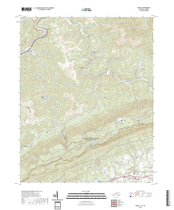
2022 Map of Varilla
USGS Topo · Published 2022About this map
The Cumberland Gap National Historical Park anchors the southern portion of this landscape, where Cumberland Mountain forms the natural boundary between Kentucky and Virginia. High on this ridge, Hensley Flats stands as a testament to the isolated upland settlements that once thrived along the Tennessee Valley Divide. The terrain is deeply incised by the Cumberland River in the north near Varilla, while the interior is defined by steep ridges like Hances Ridge and Little Black Mtn. Family history is exceptionally well-documented across these hollows, with numerous small burial grounds such as the Wilder - Hensley Cem, Hubert Littrell Family Cem, and Miracle Cem located near early road networks like Judge Hoskins Rd and State Hwy 987. The southern lowlands near Caylor show a transition to more concentrated community life at the Elydale Primitive Baptist Church Cem.
Find a feature on this map
103 named features on this map. Tap any name to fly to it.
Don’t see what you’re looking for? This feature index may not catch every label — zoom into the map to look around manually.
Map Details
Editions of this 2022 Varilla Map
This is the sole edition of this map. No revisions or reprints were ever made.
Other maps of this area

1886 · Cumberland Gap
USGS Topo · 1:125,000

1887 · Jonesville
USGS Topo · 1:125,000

1888 · Cumberland Gap
USGS Topo · 1:125,000

1891 · Cumberland Gap
USGS Topo · 1:125,000

1891 · Jonesville
USGS Topo · 1:125,000

1903 · Harlan
USGS Topo · 1:48,000

1903 · Pineville
USGS Topo · 1:48,000

1903 · Middlesboro
USGS Topo · 1:48,000

1916 · Harlan
USGS Topo · 1:48,000

1919 · Harlan
USGS Topo · 1:62,500