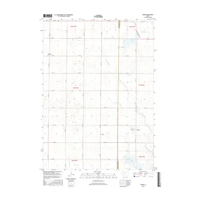
2015 Map of Varina
USGS Topo · Published 2015About this map
Varina occupies the southeastern portion of this survey, situated at the boundary of Buena Vista and Pocahontas Counties. The surrounding landscape is defined by the agricultural grid of northwest Iowa, where sections are partitioned by roads like Co Hwy M54 and Co Hwy N14. Local genealogy is anchored by the Saint Johns Lutheran Cem to the northwest and the Varina Cem just west of the town center.
Find a feature on this map
39 named features on this map. Tap any name to fly to it.
Don’t see what you’re looking for? This feature index may not catch every label — zoom into the map to look around manually.
Map Details
Editions of this 2015 Varina Map
This is the sole edition of this map. No revisions or reprints were ever made.
Other maps of this area

1954 · Fort Dodge
USGS Topo · 1:250,000

1957 · Fort Dodge
USGS Topo · 1:250,000

1958 · Fort Dodge
USGS Topo · 1:250,000

1971 · Sioux Rapids SE
USGS Topo · 1:24,000

1971 · Albert City
USGS Topo · 1:24,000

1971 · Laurens
USGS Topo · 1:24,000

1979 · Varina
USGS Topo · 1:24,000

1979 · Fonda
USGS Topo · 1:24,000

1979 · Newell West
USGS Topo · 1:24,000

1979 · Storm Lake NE
USGS Topo · 1:24,000