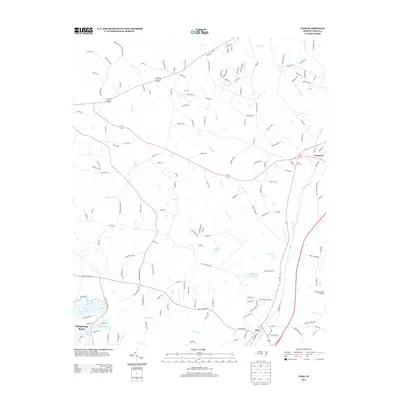
2013 Map of Vass
USGS Topo · Published 2013About this map
Vass and Cameron anchor this 2013 landscape in Moore County, where the transition from traditional rail-side settlements to modern residential developments is clearly visible. The historic importance of the rail corridor is evidenced by Seaboard St, while the newer character of the region is defined by the water-centric layout of Whispering Pines. A dense network of local roads such as Old Hwy 15-501 and Vass Carthage Rd connects these communities across a terrain defined by many small drainages and water bodies, including Little River, Crane Cr, and Little Crane Cr. This era shows a distinctive blend of local aviation at Rooster Field Airport alongside numerous private and community lakes like Thurlows Lake, Morses Lake, and Thagards Lake. The map reveals a high concentration of family-named roads and landmarks, reflecting the generational land-ownership patterns of this North Carolina Sandhills region.
Find a feature on this map
161 named features on this map. Tap any name to fly to it.
Don’t see what you’re looking for? This feature index may not catch every label — zoom into the map to look around manually.
Map Details
Editions of this 2013 Vass Map
This is the sole edition of this map. No revisions or reprints were ever made.
Other maps of this area

1948 · Southern Pines
USGS Topo · 1:62,500

1948 · Clifdale
USGS Topo · 1:62,500

1950 · Lobelia
USGS Topo · 1:24,000

1950 · Niagara
USGS Topo · 1:24,000

1950 · Southern Pines
USGS Topo · 1:24,000

1951 · Clifdale
USGS Topo · 1:62,500

1953 · Raleigh
USGS Topo · 1:250,000

1954 · Raleigh
USGS Topo · 1:250,000

1957 · Murchisontown
USGS Topo · 1:24,000

1957 · Southern Pines
USGS Topo · 1:62,500