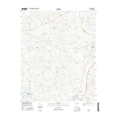
2016 Map of Vass
USGS Topo · Published 2016About this map
Carthage and Vass anchor this Moore County landscape, which transitions from established town centers to a series of recreational and water management features. The southern portion of the map is defined by residential growth around water bodies like Whispering Pines, Thagards Lake, and Shadow Lake, illustrating the post-war development pattern of the Sandhills region. The geography is deeply influenced by the Little River and its various tributaries, including Crane Creek and Herd Creek, which carve out the undulating terrain between settlements.
Find a feature on this map
131 named features on this map. Tap any name to fly to it.
Don’t see what you’re looking for? This feature index may not catch every label — zoom into the map to look around manually.
Map Details
Editions of this 2016 Vass Map
This is the sole edition of this map. No revisions or reprints were ever made.
Other maps of this area

1948 · Southern Pines
USGS Topo · 1:62,500

1948 · Clifdale
USGS Topo · 1:62,500

1950 · Lobelia
USGS Topo · 1:24,000

1950 · Niagara
USGS Topo · 1:24,000

1950 · Southern Pines
USGS Topo · 1:24,000

1951 · Clifdale
USGS Topo · 1:62,500

1953 · Raleigh
USGS Topo · 1:250,000

1954 · Raleigh
USGS Topo · 1:250,000

1957 · Murchisontown
USGS Topo · 1:24,000

1957 · Southern Pines
USGS Topo · 1:62,500