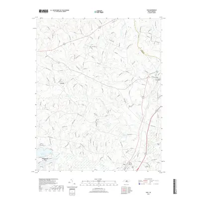
2019 Map of Vass
USGS Topo · Published 2019About this map
The county seat of Carthage and the historic rail town of Cameron anchor this modern-era study of the Moore County sandhills. The Seaboard Coast Line railroad runs through the eastern portion of the map, a line that historically linked these Piedmont communities to coastal and northern markets. The landscape is characterized by its transition from agricultural fields, such as Rooster Field, to the established residential and recreational areas of Whispering Pines in the southwest.
Find a feature on this map
138 named features on this map. Tap any name to fly to it.
Don’t see what you’re looking for? This feature index may not catch every label — zoom into the map to look around manually.
Map Details
Editions of this 2019 Vass Map
This is the sole edition of this map. No revisions or reprints were ever made.
Other maps of this area

1948 · Southern Pines
USGS Topo · 1:62,500

1948 · Clifdale
USGS Topo · 1:62,500

1950 · Lobelia
USGS Topo · 1:24,000

1950 · Niagara
USGS Topo · 1:24,000

1950 · Southern Pines
USGS Topo · 1:24,000

1951 · Clifdale
USGS Topo · 1:62,500

1953 · Raleigh
USGS Topo · 1:250,000

1954 · Raleigh
USGS Topo · 1:250,000

1957 · Murchisontown
USGS Topo · 1:24,000

1957 · Southern Pines
USGS Topo · 1:62,500