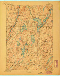
1893 Map of Vassalboro
USGS Topo · Published 1905About this map
The Kennebec River corridor defines the western edge of this 1891 survey, where the Maine Central Kennebec River RR parallels the water to connect riverside settlements like Vassalboro and Riverside. This interior Maine landscape is heavily shaped by its glacial hydrology, dominated by the massive China Lake and a dense network of smaller bodies including Weber Pond, Threemile Pond, and Togus Pond.
Find a feature on this map
57 named features on this map. Tap any name to fly to it.
Don’t see what you’re looking for? This feature index may not catch every label — zoom into the map to look around manually.
Map Details
Editions of this 1893 Vassalboro Map
5 editions found
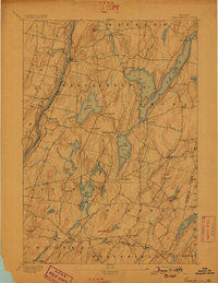
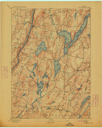
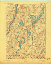
Other maps of this area

1892 · Gardiner
USGS Topo · 1:62,500

1892 · Waterville
USGS Topo · 1:62,500

1892 · Augusta
USGS Topo · 1:62,500

1893 · Vassalboro
USGS Topo · 1:62,500

1893 · Wiscasset
USGS Topo · 1:62,500

1894 · Norridgewock
USGS Topo · 1:62,500

1898 · Norridgewock
USGS Topo · 1:62,500

1898 · Vassalboro
USGS Topo · 1:62,500

1913 · Waldoboro
USGS Topo · 1:48,000

1915 · Waldoboro
USGS Topo · 1:62,500