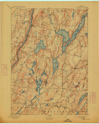
1893 Map of Vassalboro
USGS Topo · Published 1913About this map
The Kennebec River valley dominates the western edge of this 1891 survey, which illustrates a landscape defined by its glacial lakes and nineteenth-century water power. Settlements such as Seaward Mills, Weeks Mills, and Cooper Mills highlight the industrial reliance on the region's complex hydrology, particularly the Sheepscot River and the numerous ponds scattered across the rolling terrain. The primary population centers of Vassalboro and North Vassalboro are positioned along the river and the Outlet Stream, while the extensive waters of China Lake serve as a focal point for the eastern parishes. Transportation in this era was transitioning from river-focused commerce to rail, evidenced by the Maine Central Kennebec River line following the riverbank and the Kennebec Central R.R. providing narrower connections to the interior near Togus.
Find a feature on this map
62 named features on this map. Tap any name to fly to it.
Don’t see what you’re looking for? This feature index may not catch every label — zoom into the map to look around manually.
Map Details
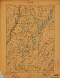
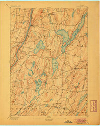
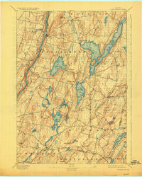
Editions of this 1893 Vassalboro Map
5 editions found
Other maps of this area

1892 · Gardiner
USGS Topo · 1:62,500

1892 · Waterville
USGS Topo · 1:62,500

1892 · Augusta
USGS Topo · 1:62,500

1893 · Vassalboro
USGS Topo · 1:62,500

1893 · Wiscasset
USGS Topo · 1:62,500

1894 · Norridgewock
USGS Topo · 1:62,500

1898 · Norridgewock
USGS Topo · 1:62,500

1898 · Vassalboro
USGS Topo · 1:62,500

1913 · Waldoboro
USGS Topo · 1:48,000

1915 · Waldoboro
USGS Topo · 1:62,500