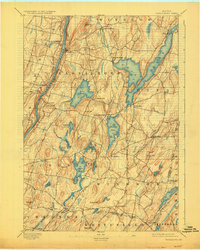
1893 Map of Vassalboro
USGS Topo · Published 1925About this map
The Kennebec River corridor defines the western edge of this 1891 survey, where the Maine Central R. R. follows the riverbank through Riverside and Vassalboro. The landscape is a glacial patchwork of prominent hills and interconnected water bodies, anchored by the massive reach of China Lake and smaller basins like Weber Pond and Threemile Pond. Several distinct village centers, including North Vassalboro and East Vassalboro, show the early settlement patterns of Kennebec County before the modernization of the mid-20th century. Local industry is evidenced by the presence of Seaward Mills and Weeks Mills, located along the winding tributaries like Sevenmile Brook. To the south, the community of Togus sits near Togus Pond, while the Kennebec Co. Lincoln Co. Boundary Line marks the transition into the neighboring Whitefield and Jefferson townships.
Find a feature on this map
59 named features on this map. Tap any name to fly to it.
Don’t see what you’re looking for? This feature index may not catch every label — zoom into the map to look around manually.
Map Details
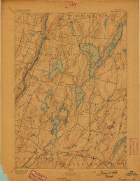
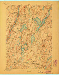
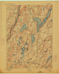
Editions of this 1893 Vassalboro Map
5 editions found
Other maps of this area

1892 · Gardiner
USGS Topo · 1:62,500

1892 · Waterville
USGS Topo · 1:62,500

1892 · Augusta
USGS Topo · 1:62,500

1893 · Vassalboro
USGS Topo · 1:62,500

1893 · Wiscasset
USGS Topo · 1:62,500

1894 · Norridgewock
USGS Topo · 1:62,500

1898 · Norridgewock
USGS Topo · 1:62,500

1898 · Vassalboro
USGS Topo · 1:62,500

1913 · Waldoboro
USGS Topo · 1:48,000

1915 · Waldoboro
USGS Topo · 1:62,500